
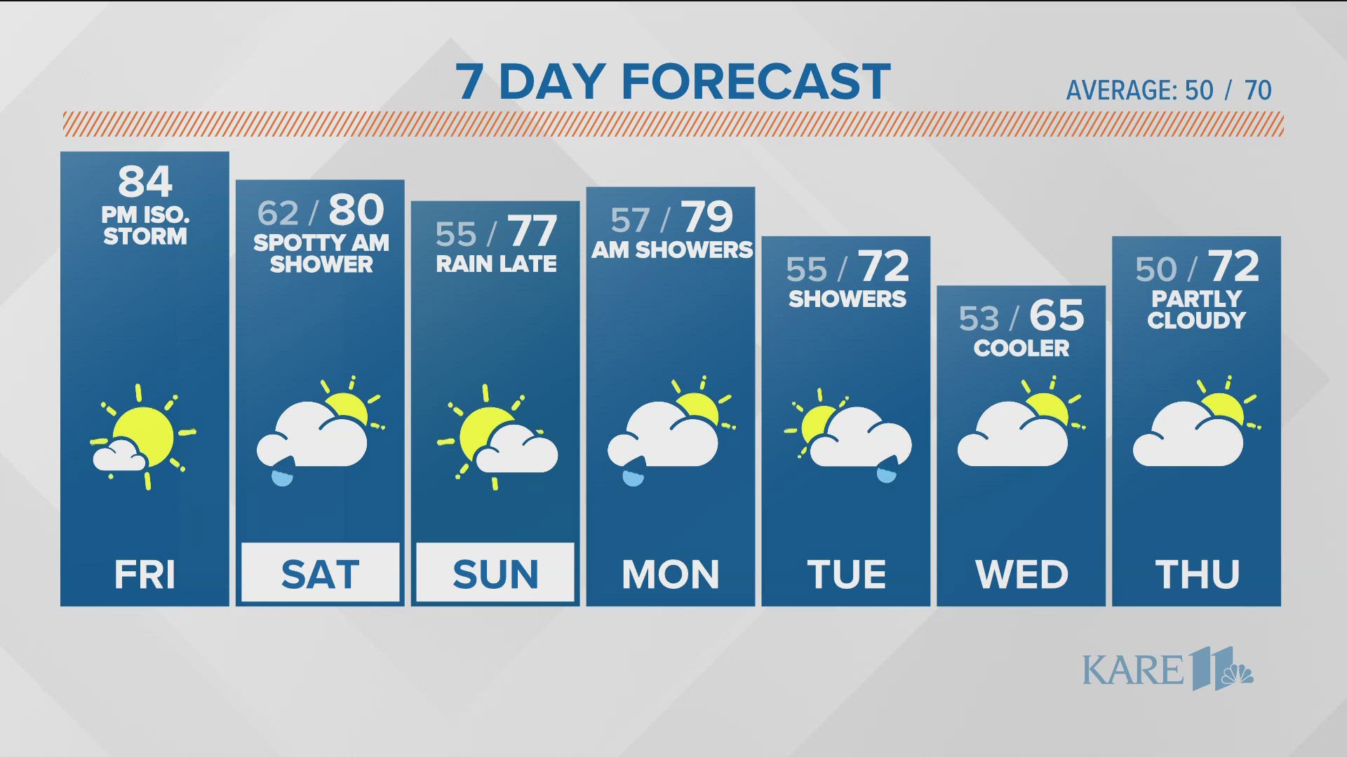
MINNESOTA, USA — It's a mild start as a warm front moves through the region this morning. Temperatures will take off today ending up in the low to mid 80s by the afternoon.


There are a few isolated storms that may develop on a weak boundary around the metro this afternoon and early evening. Most of us will stay dry but keep an eye on radar just in case.


Rain chances will remain very low through Sunday with only a hit-or-miss storm possible on Friday afternoon and Saturday morning. The best chance of rain over the coming week is Sunday night into Monday morning as a larger system moves through the region.


The weather will feel like summer with highs back in the 80s by Friday afternoon. It looks like a dry weekend with the next chance of rain late Sunday into Monday.


Text your weather-related photos or videos to 763-797-7215. While you're at it, save KARE 11 as a contact on your phone!
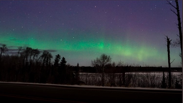
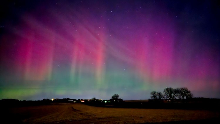
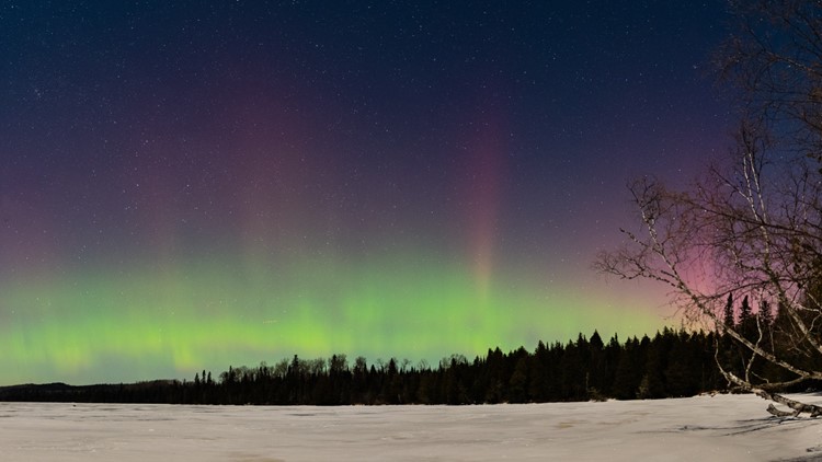
Northern lights dance across Minnesota, Wisconsin


WATCH MORE ON KARE 11+
Download the free KARE 11+ app for Roku, Fire TV, Apple TV and other smart TV platforms to watch more from KARE 11 anytime! The KARE 11+ app includes live streams of all of KARE 11's newscasts. You'll also find on-demand replays of newscasts; the latest from KARE 11 Investigates, Breaking the News and the Land of 10,000 Stories; exclusive programs like Verify and HeartThreads; and Minnesota sports talk from our partners at Locked On Minnesota.
- Add KARE 11+ on Roku here or by searching for KARE 11 in the Roku Channel Store.
- Add KARE 11+ on Fire TV here or by searching for KARE 11 in the Amazon App Store.
- Learn more about the KARE 11+ app for Apple TV in the Apple App Store.
- Learn more about KARE 11+ here.
Watch more WeatherMinds:
Watch the latest deep dives and explainers on weather and science in our YouTube playlist: