ST BONIFACIUS, Minn. — Many have basked in the majesty of Minnehaha Falls, which serves as the exclamation point at the end of the Minnehaha Creek Watershed.
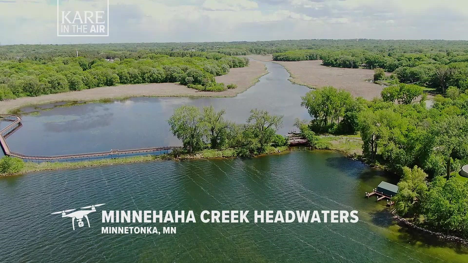
But on the other end sits the Minnehaha Headwaters, an awesome sight in its own right.
Tonight's installment of KARE in the Air takes us above the point where Minnehaha Creek starts, before it flows eastward 22 miles from Gray's Bay on Lake Minnetonka to the falls in southeast Minneapolis.
You can meander the headwaters on a wooden boardwalk supported by pipes that are sunk in the bottom of the lake.
There's also a dam that controls the levels of Lake Minnetonka, and the amount of water that discharges into the creek for its meandering run across the Twin Cities.
In total, the Minnehaha Creek Watershed covers 178 square miles from St. Bonifacius to south Minneapolis, its currents moving through Lake Minnetonka, the Minneapolis Chain of Lakes, Minnehaha Creek, and finally down Minnehaha Falls. Millions of people use these water resources for swimming, fishing, boating and other forms of recreation.
The watershed includes eight major creeks, 129 lakes and acres upon acres of wetlands, touching 27 cities and two townships in Hennepin and Carver counties.
If you have suggestions where we should fly our drone for future KARE in the Air segments, post them on our social platforms or text to 763-797-7215, with KARE in the Air in your message.
Watch more KARE in the Air:
Check out amazing drone video of Minnesota's most beautiful and iconic spots in our YouTube playlist:

