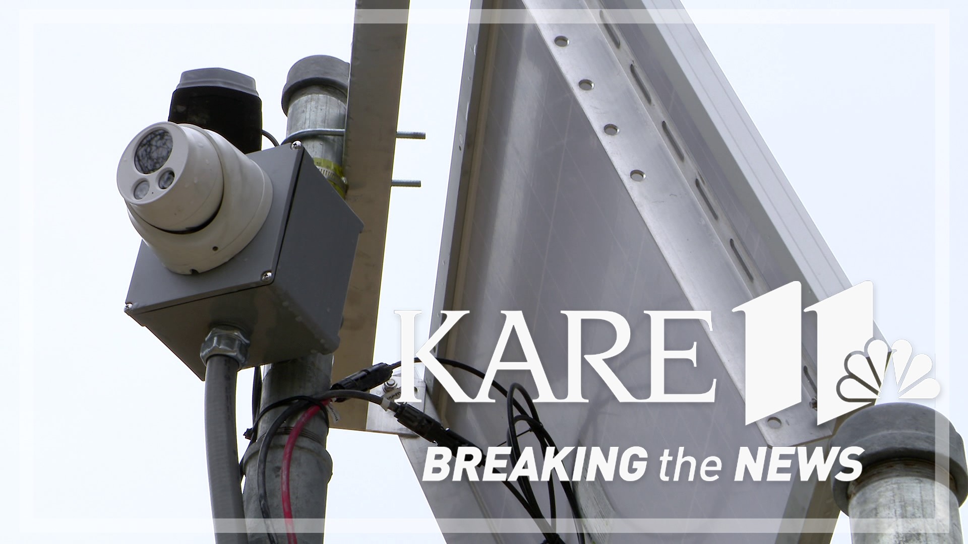
MOUNDS VIEW, Minn. — Monitoring spring river levels in Minnesota is historically a pretty cold, wet and thankless job, but it's become much more appreciated by the general public thanks to a new network of solar-powered webcams.
"It's nice to be able to share a cool thing," said Ben Torrison, a supervisory hydrologic technician for the United States Geological Survey (USGS). "Science people sometimes have trouble sharing what we view as cool things that we do."
As several Minnesota communities have prepared for major river flooding in recent weeks, an interactive network of USGS river cameras, known as HIVIS, has been a popular destination to keep tabs on river levels in real-time and view time-lapse videos of snowmelt and ice flows.
Kent Erdahl: "You are the USGS camera guru?"
Torrison: "I wouldn't be the camera guru. The real camera guru is in Wisconsin, who I learned from."
Those first web cameras were added to USGS stream gaging stations in Wisconsin back in 2017. Technological upgrades in cameras and cellular networking in recent years, helped the USGS aggressively expand that network nationwide.
"I wish we had more of them," said James Fallon, a USGS hydrologist in Mounds View. "I wish we had them at pretty much every gage."
That will take time. The USGS maintains more than 200 river and lake gages in Minnesota and 10,000 nationwide. So far, there are cameras attached to 16 stations in Minnesota and a total of 475 across the country.
The cameras generally capture one image per hour, but as waters rise in communities like Hastings this week, that frequency can be adjusted to stay on top of issues that may arise, like recent road closures.
"It's a very flexible system," Torrison said. "I can make adjustments on my phone, so we can take as many or as few camera images as we wanted to."
"There's just so much information in that picture that you don't get from looking at a hydrograph," Fallon said. "When you look at this graph (from Doran, Minnesota), you only know how high the river is, and so we need to know that the river is clear of all its ice and debris."
A closer look at the camera from the Doran gaging station this week revealed exactly when the ice flowed out, and even illustrated how an ill-timed trip to the area could have proven hazardous.
"The camera showed a big piece of ice coming downstream," Fallon said. "That's what we don't want to happen while we're they're measuring."
And they weren't the only ones who were glad they had eyes on it.
"It's helped us a couple of times in verifying that we have ice jam problems," said Craig Schmidt, senior hydrologist with the National Weather Service Twin Cities. "I think this is a huge help toward both the observation and the forecast system for our rivers in our area. We've been working with the USGS and letting them know how much we really enjoy having these cameras and the more of those that we can get, the merrier."
Torrison says he's already preparing to add several more cameras to stations this summer.
"The more cameras we get in critical places, I think that's a great public safety tool," he said.
"We're about science for a changing world, and so we hope that people are interested in the science, but if this is kind of a door to look at a river and see how it responds to rain or to snowmelt, and see how ice affects a river, that's really cool," Fallon said. "That's a good thing."
Watch more Breaking The News:
Watch all of the latest stories from Breaking The News in our YouTube playlist:

