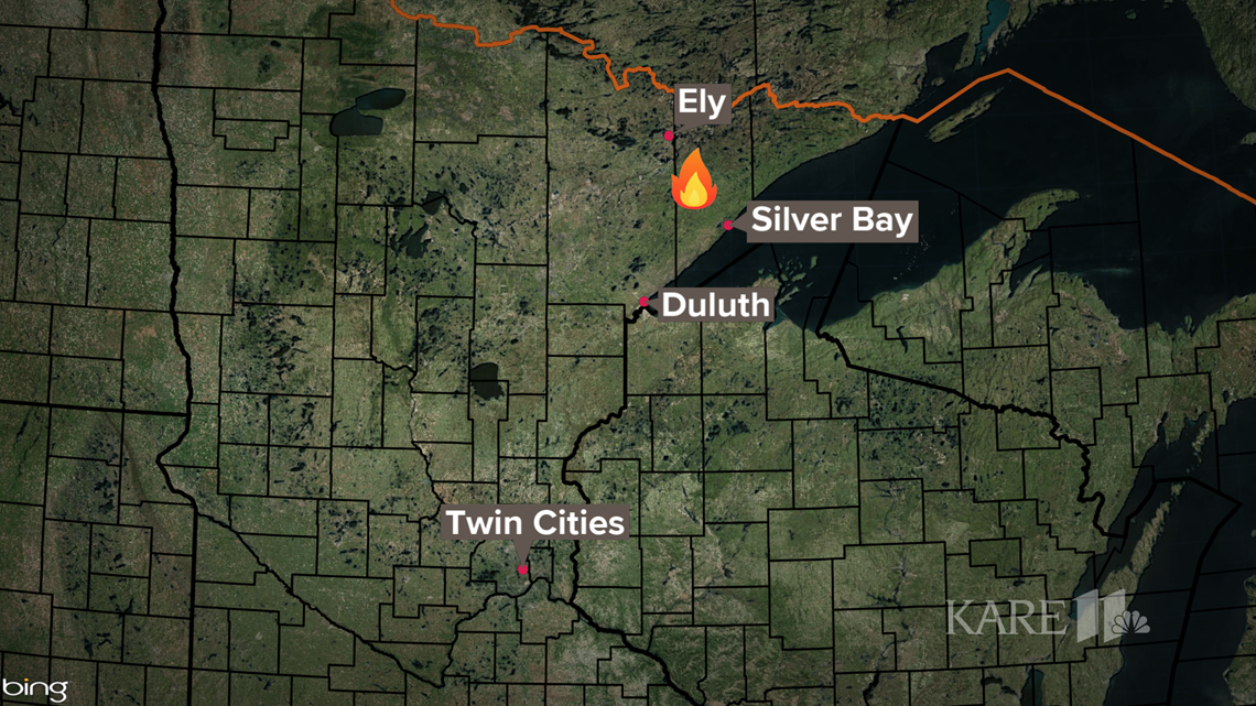
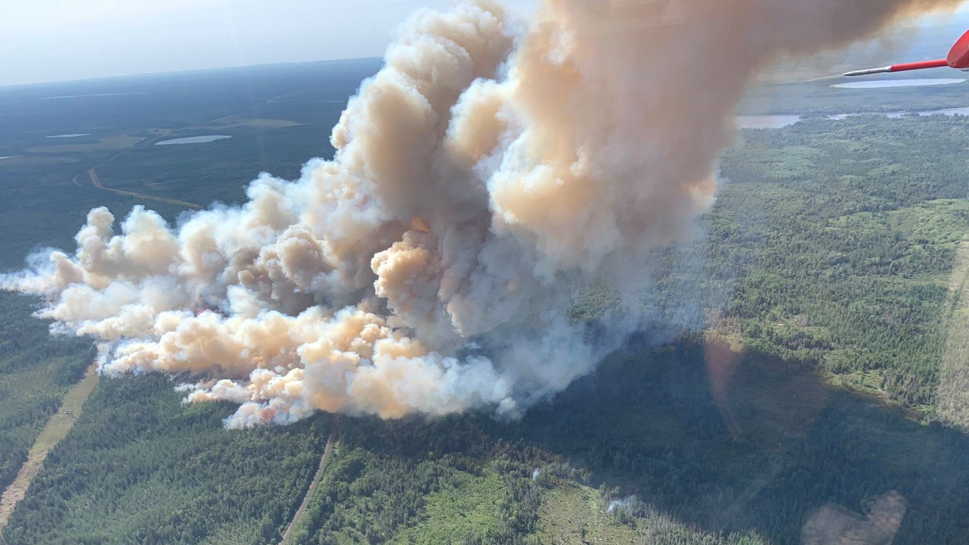
ISABELLA, Minn. — Home and cabin owners near McDougal Lake have been evacuated as a fast-moving wildfire continues to advance in northeastern Minnesota, pushed by gusting winds and tinder-dry conditions.
The U.S. Forest Service-Superior National Forest says the Greenwood Lake fire was first spotted around 3 p.m. Sunday on the Laurentian Ranger District, about 15 miles southwest of Isabella. Spokesperson Joanna Gilekson says the fire was estimated at several hundred acres on Sunday but grew overnight at a rate much faster than anticipated, fueled by sustained winds of 5 to 15 miles per hour and gusts up to 25 mph.
Gilekson said those winds, combined with stifling heat, humidity in the 30% range and already tinder dry conditions have created a "critical" wildfire situation. An aerial survey was conducted from an aircraft Monday morning and fire officials say the blaze has now grown to more than 1,000 acres. Winds from the south Monday are expected to push the fire northward, and weather conditions are expected to remain conducive to wildfire growth through at least Thursday.
There is no word on a possible cause of the fire at this time.
Crews from fire departments in Two Harbors, Finland and Silver Bay have all been deployed along with DNR firefighters with additional help from the State Emergency Operations Center, and partners at Minnesota Interagency Fire Center, including the US Forest Service.
Suppression efforts are being conducted both on the ground and from the air with planes and helicopters. Gilekson said an Australian firefighting 737 jet will be arriving shortly, on loan after a deployment out west.
On Sunday, officials closed McDougal Lake Recreation Area, which includes a campground, boat ramp, picnic area and trail. All visitors were cleared from the area on Sunday, the Forest Service said. A more extensive list of closures was released Monday. It includes:
- Hwy 1 from New Tomahawk Road to Lankinen Road
- Hwy 2 from Forest Hwy 11 to Hwy 1
- Little Isabella Campground
- Flat Horn/ Gegoka Ski Trails and Trailheads (Trail 71093 and 71093 Spur trails A ,B ,C, D ,E, F, FA ,FB, G, GA ,H, I ,and J )
- Lake Gegoka Boat Access
- Stony River Observation Site and Canoe Launch
- Flat Horn Lake Picnic Area and boat launch Boat Launch
- Dragon Boat Launch
- Beetle Boat Launch
- Grass Boat Launch
- Two Deere Boat Launch
- Shamrock Boat Launch
- Little Wampus Boat Launch
- Boat launches on Sand Lake, Bearskin Lake, Surprise Lake, Grouse Lake, Chub Lake, Dunnigan Lake and Gypsy Lake


On Sunday night, Governor Tim Walz authorized the Minnesota National Guard through Emergency Executive Order 21-29 to support the crews already on the ground fighting the fire.
“The Minnesota National Guard’s additional support will be critical to responding to these wildfires and protecting the safety of Minnesotans and their property. I am proud that our Service Members have again answered the call to serve their fellow Minnesotans,” Walz said in a press release.
Extensive smoke from the wildfire has the Minnesota Pollution Control Agency (MPCA) issuing an air quality alert that extends from noon Monday until at least 3 p.m. Tuesday for the inland portion of Lake County.
In a video statement released Monday afternoon, West Zone Fire Management Officer Nick Petrack said the fire is expected to be very active for the next three to four days. Fire suppressant has been dropped by seven different aircraft, but officials have asked for an incident management team to assist further. That team is expected to arrive by Tuesday morning.
Two other wildfires are burning in the BWCA, the John Elk fire near Little Saganaga Lake and the Whelp fire northwest of Sawbill Lake. The USDA-Forest Service says no crews have been sent in to fight either wildfire, due to their remote locations and difficult access. Aircraft are doing water drops to suppress the flames.
This is a developing story. Check back for updates.

