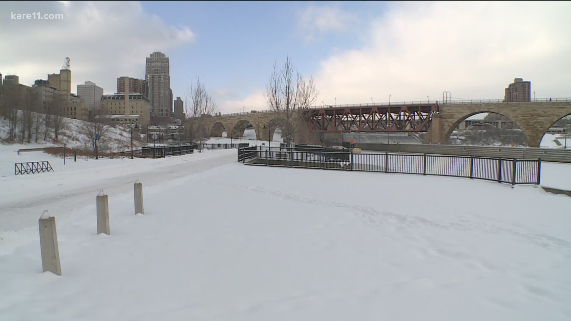
MINNEAPOLIS — The Mississippi riverfront around the Stone Arch Bridge in Minneapolis will begin to transform in the next decade, thanks to a new federal agreement signing over a portion of the Upper St. Anthony lock and dam.
The Water Resources Development Act of 2020, signed into law this week, will allow the city of Minneapolis to take control of the land surrounding the lock and dam, in order to provide more public access to the river.
"It's an extraordinary site, geographically, and there's also a tremendous amount of history," said Mark Andrew, President of Friends of the Falls, a non-profit that has worked to reclaim, restore and redevelop the land.
Andrew has been passionate about the land surrounding the lock and dam ever since he was part of the Hennepin County Board that saved the Stone Arch Bridge in the early 1990's.
"This bridge was condemned. They were going to tear it down," Andrew said. "And so the Hennepin County board bought it for a dollar from the Burlington Northern Railroad and put several million dollars into it, reinforcing it, and development began to happen down here."
Years later the Stone Arch is a cornerstone of Minneapolis culture and tourism, helping tell the origin story of the Mill City.
But Andrew says a deeper history of the surrounding area has always been overlooked, which is something they can now begin to remedy.
"For years, the history of this area only went back to the arrival of the Europeans," Andrew said. "One of the opportunities here, is to come to the birthplace of the city and join together with the indigenous people who thrived on the banks of this river for thousands of years before us."
Friends of the Falls is now working with the Native American Community Development Institute (NACDI), to engage the Native American community about that untold history.
"This whole area was very sacred to the Dakota people, who were here first," said Robert Lilligren, president of NACDI. "Right here (at the end of the lock) is kind of a pile of slag rock. It's kind of a jetty that is likely the remains of what was called Spirit Island. It was an imminently sacred site to the Dakota people that was demolished through industrialization."
Lilligren says both NACDI and Friends of the Falls have been working to rethink how the riverfront can be accessed for both recreation and cultural education.
"We really hit on a strategy to engage the descendants of the people who were here first," Lilligren said. "So we've been engaging the four Dakota tribes in Minnesota, through their elected leadership, in a way that I've never seen it done before."
Ideas for the land will build on designs and storytelling that are already part of the Minneapolis Park Board's new Waterworks restaurant and riverfront nearby, which are set to open in 2021.
The groups also plan to use the added shoreline to give the public more direct access to the river.
"To the Dakota people, the native people, place is so important and water is so important," Lilligren said. "So this place just holds a lot of importance."
"I look at this area as being historic and sacred, but I also look at the area as a place of visitation, recreation," Andrew said. "Not only getting people to the river but getting people on the river."
The project will likely take years, and timing will depend on when the Army Corps of Engineers completes the land transfer, but the shared vision holds potential for generations to come.
"We've got a couple of million people a year who come down to the riverfront," Andrew said. "This work will probably double the visitation at the river because it will be compelling and it will be beautiful."
"If this goes right, and we see the community's vision put in place here, it has the potential to really attract, not just regional and nationally, but internationally," Lilligren said. "This is an internationally important and sacred site."
Friends of the Falls will be taking public and community comment on the plans for the land at meetings through the summer. Learn more at TheFalls.org.

