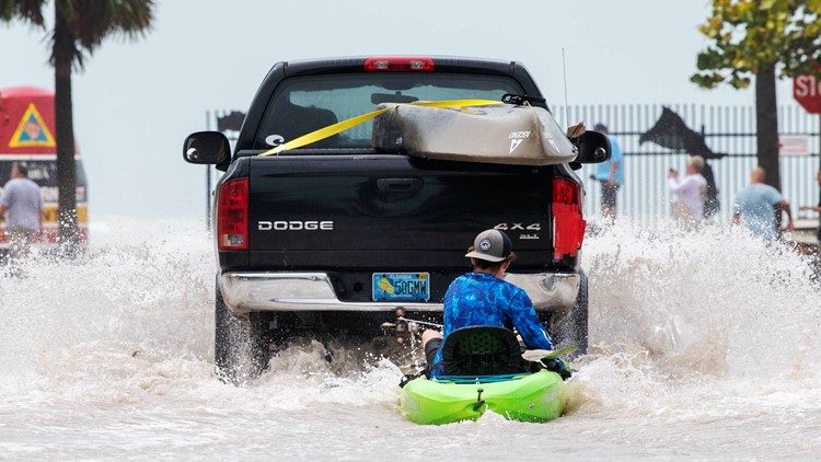
FLORIDA, USA — KARE 11 reporter Gordon Severson is currently in Sarasota, Florida working with TEGNA's Tampa Bay station WTSP to help cover Hurricane Ian as it prepares to make a direct hit on the western coast of the Sunshine State.
Follow along with Gordon's on-the-ground coverage of Hurricane Ian below:
Wednesday, Sept. 28
Hurricane Ian made landfall Wednesday afternoon as a monster Category 4 storm, with maximum sustained wind speeds of 150 mph.
"We just made the decision to hunker down and ride out #HurricaneIan We were checking to see if there were any safe locations further south, closer to where the hurricane is expected to hit, but police are advising us to stay," Gordon tweeted just after 8 a.m.
Once it has passed his next steps will be detailing the extent of damage as well as recovery efforts in surrounding communities.
4 p.m.
More than a million households in Florida are reportedly without power following Hurricane Ian's landfall. "For perspective, Florida’s population is around 21 to 23 million," according to Severson.
2:45 p.m. CT
Hurricane Ian made landfall as a Category 4 hurricane Wednesday near Cayo Costa, Florida with maximum sustained wind speeds at 150 mph.
12:30 p.m. CT
According to KARE 11 meteorologist Ben Dery, the entire Twin Cities metro could fit inside the eye of Hurricane Ian. The storm remains at a Category 4 hurricane with maximum sustained winds of 155 mph.
10:30 a.m. CT
As the eye of the storm barreled toward Florida, high winds and rain were already impacting the Sarasota area.
Gordon said streets were already beginning to flood Wednesday morning and that wind gusts have been three to four times strong than "normal" winds.
Tuesday, Sept. 27
Before the storm made landfall Wednesday, Tampa Bay residents and business owners began boarding up doors and windows and sandbagging to protect their property from flooding and hurricane-force winds.


