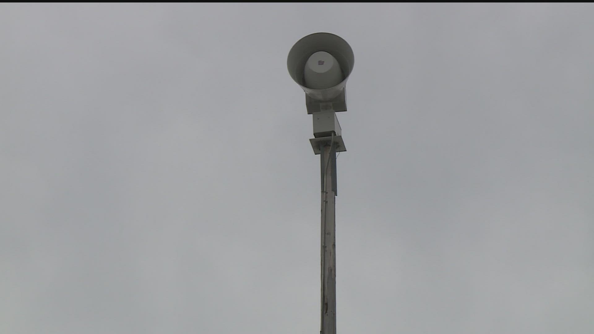
MINNESOTA, USA — If you live in the Twin Cities metro, chances are you're familiar with weekly tornado siren tests.
But for residents across greater Minnesota and Wisconsin, consider this your heads up: On Thursday, April 7, the National Weather Service and local agencies are doing two additional tornado watch/warning drills as part of Severe Weather Awareness Week.
On Thursday, most counties in Minnesota and Wisconsin will activate their outdoor warning sirens and other notification systems at both 1:45 p.m. and 6:45 p.m.
According to the NWS, counties and cities own the sirens, and therefore decide whether to activate them. Counties and cities also have different policies how how long and how often they activate their sirens.
On Thursday, the National Oceanic and Atmosphere Administration will also activate the Weather Radio and Routine Weekly Test Code, and share updates on social media.
As we enter severe weather season in Minnesota, here's what you should know about storm watches and storm warnings:
- If a "watch" is issued, that means conditions are favorable for severe weather development
- If a "warning" is issued, severe weather has either been spotted, or is imminent based on radar data
KARE 11 meteorologist Ben Derry says you can think of it this way: A watch is like a bunch of ingredients for a cake — flour, sugar and eggs. A storm could have moisture, lift and instability, which puts all of the ingredients in place for something to happen.
Want to get the latest forecast and severe weather updates sent straight to your phone? Click here to download the KARE 11 app.
Watch more WeatherMinds:
Watch the latest deep-dives and explainers on weather and science in our YouTube playlist:

