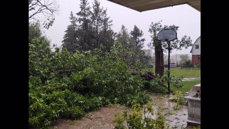
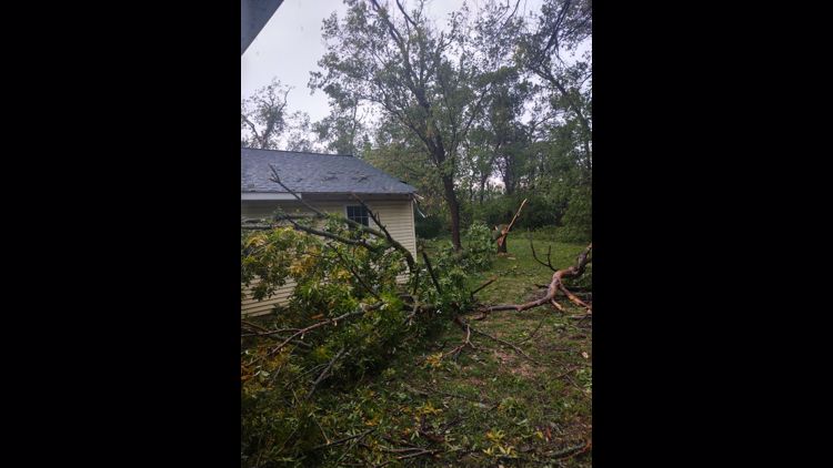
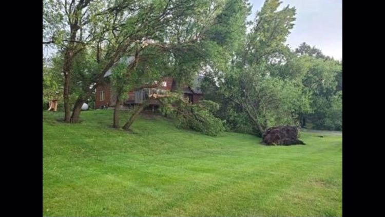
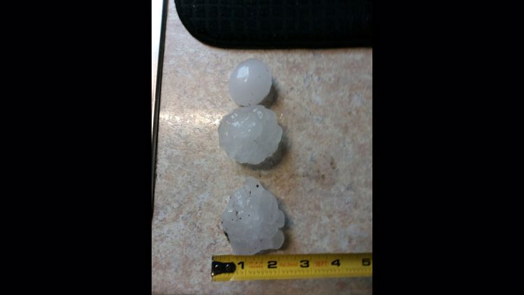
MINNESOTA, USA — Storms rumbling through much of Minnesota Saturday brought reports of downed trees, power outages, golf-ball-sized hail and other damage.
Around 6:30 p.m., law enforcement in Cottonwood County in southwestern Minnesota said there were reports of multiple trees down in the Westbrook area. A storm chaser told KARE 11 some homes in the area also had their roofs torn off.
Officials also said a grain bin had been destroyed in Murray County, and trees were down in the Chandler area.
Earlier in the afternoon, around 2:30 p.m., Minnesota Power said outages were affecting more than 2,000 people in the state.
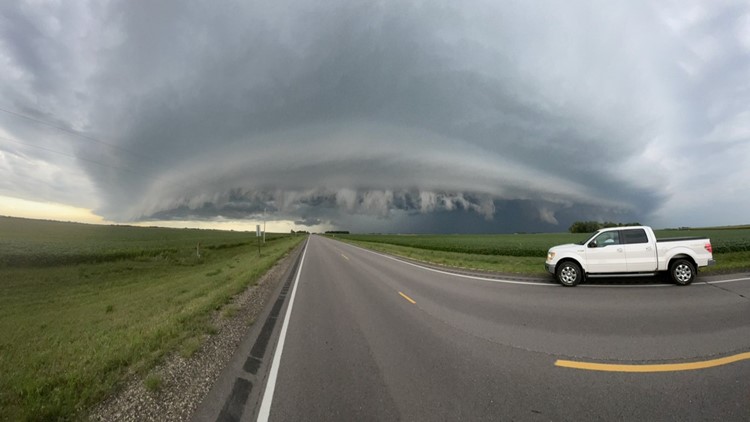
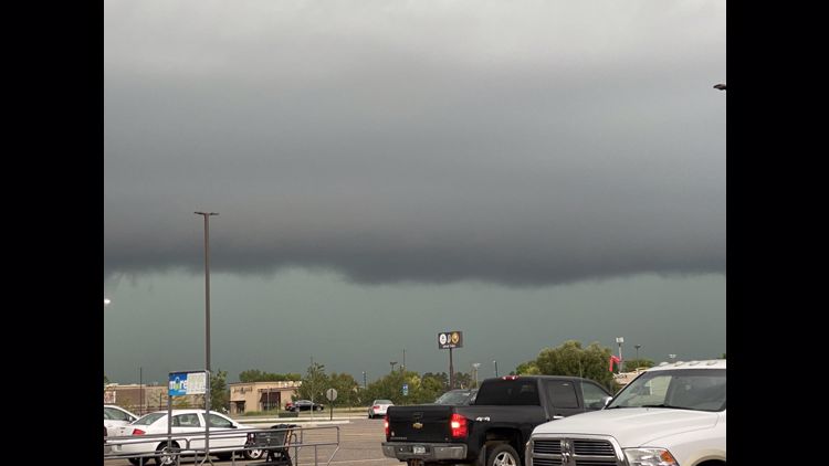
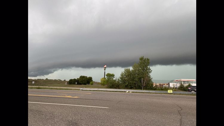
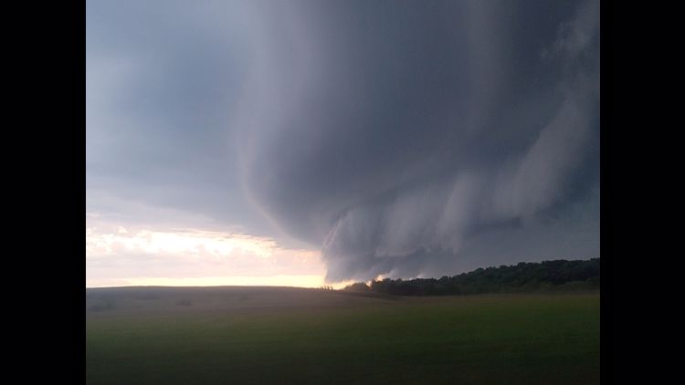
A shelf cloud near St. James, Minnesota was posted to Twitter around 6:45 p.m. as the storm swiftly traveled through the area.
Tornado watches and storm warnings are in place across Minnesota as the latest line of severe weather makes it's way from the southwest towards the metro. You can view the latest weather advisories on the NWS website. You can watch KARE 11's live radar here.
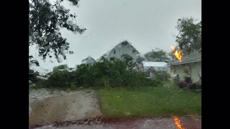
KARE 11 received photos of heavy early afternoon damage from the storm, especially in areas of central Minnesota.
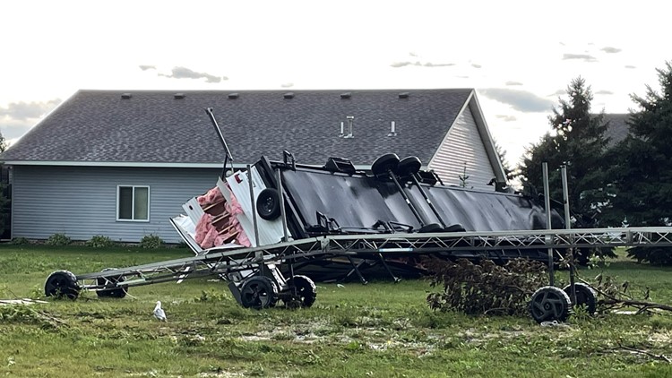
Jessica Coners texted photos of downed trees in Alexandria, Minnesota. She said the storm's high winds also flipped boat lifts on Lake Reno.


Winds from the first round of storms reached up to 70 mph in parts of the state.
Many people reported golf-ball-sized hail, especially in Sauk Rapids and St. Cloud. Trained spotters with the NWS reported large hail in various counties.


Later on Saturday, the Minnesota State Fair put a pause on free stage entertainment and Arts A'Fair performances for about 15 minutes due to lightning.
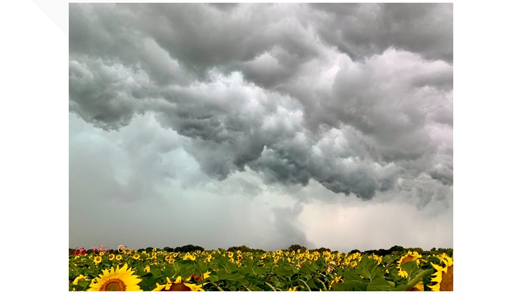
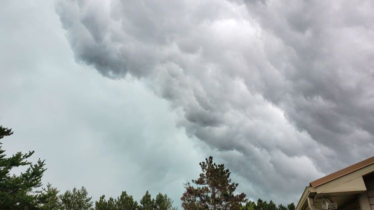
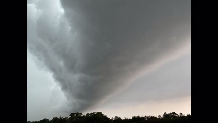
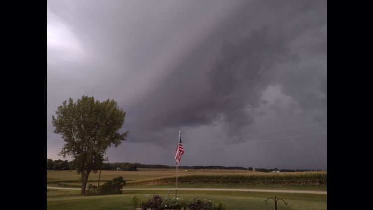
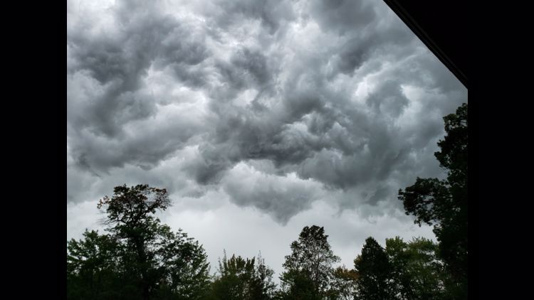
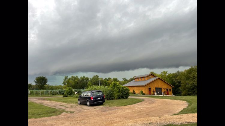
You can click through other submitted photos of Saturday's storm below. You can text your own weather-related photos to (763) 797-7215.


