DULUTH, Minn. — Editor's note: The video above first aired Aug. 25, 2021.
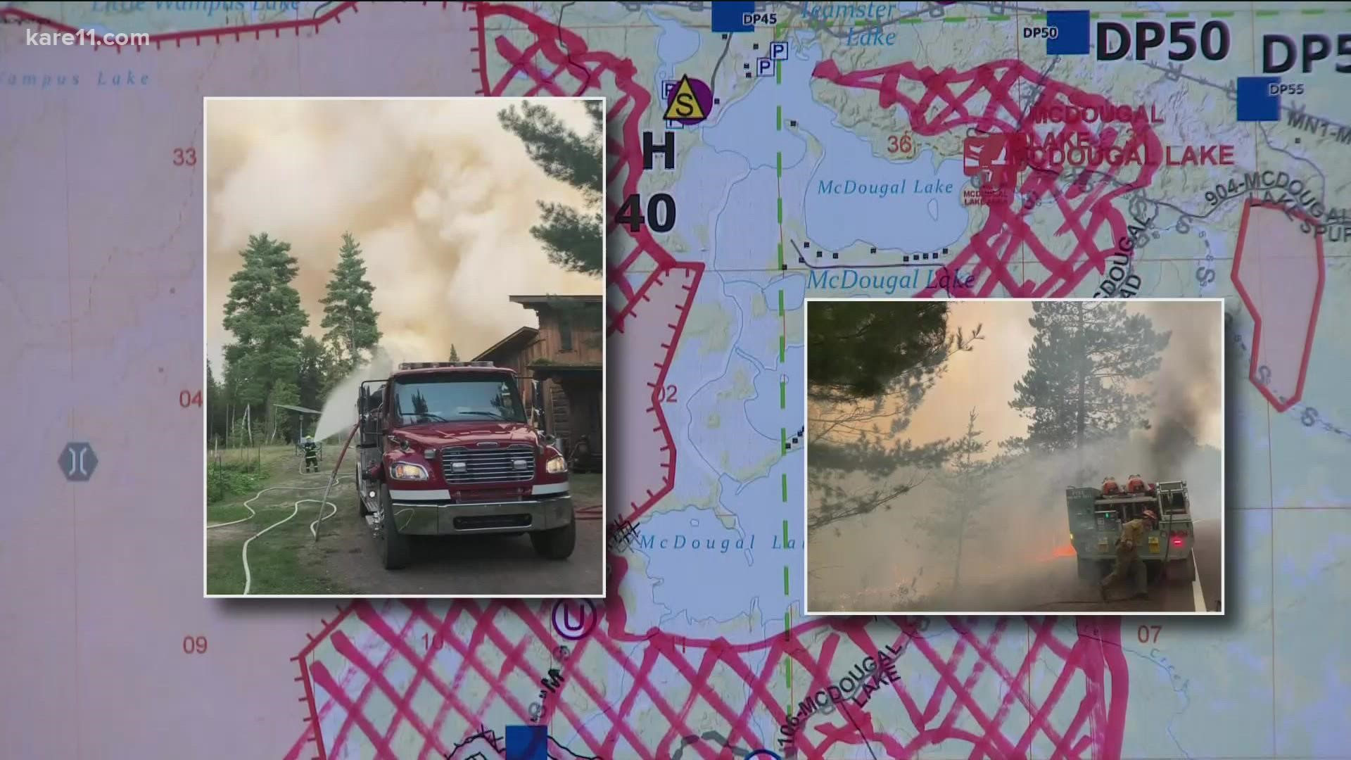
Some sections of the Superior National Forest that were closed by the Greenwood Fire will reopen Tuesday, according to the U.S. Forest Service.
A statement released Monday said Highway 1 will fully reopen to travelers, while some forest area north of the highway will also reopen. Closures will remain in place to the south of the highway.
Forest officials say they consulted with Minnesota Department of Natural Resources (DNR) officials, as well as officials from the Lake County Sheriff's Office, to deem these areas safe to traffic and visitors.
"After more than a month of active fire activity and of closures, we are finally at the point where it is safe, from a fire standpoint and a personnel and equipment standpoint, to reopen some of the Greenwood closures," Shannon Rische, deputy forest supervisor for the Superior National Forest, said.
Rische went on to thank fire crews for making the reopening possible, and visitors for their "understanding and patience" throughout the closures.
Duluth news station KBJR reports the fire remains at 80% contained. After a lighting strike ignited the fire just over a month ago, it has destroyed 14 homes and cabins, in addition to 57 outbuildings.
Officials say hazardous trees and hot spots continue to be a concern in some areas, so closures will remain until those areas are considered safe for public use.
People who own property in the Greenwood Fire closure areas, however, are permitted to access their land with a security pass card from the Lake County Sheriff. The pass can be picked up at the Hwy 1 and McDougal Lake Road checkpoint. For more information, property owners can contact Lake County Dispatch at 218-510-0640.
To learn more about the current scope of the fire, and closures and reopenings, you can visit the forest’s alerts and warnings webpage.
What's closed and what's open near the Greenwood Fire:
CLOSED:
- Stony River Observation Site
- Little Isabella Campground (due to bear activity and needed site rehabilitation)
- McDougal Lake area including the campground, boat launch, picnic area, trail and trailhead
OPEN:
- Forest lands and roads north and east of Highway 1
- BWCAW entry points - Island River, Isabella Lake, Bog Lake, Little Isabella River, Snake River, Hog Creek and Pow Wow Trail
- Divide Lake Campground and several rustic campgrounds

