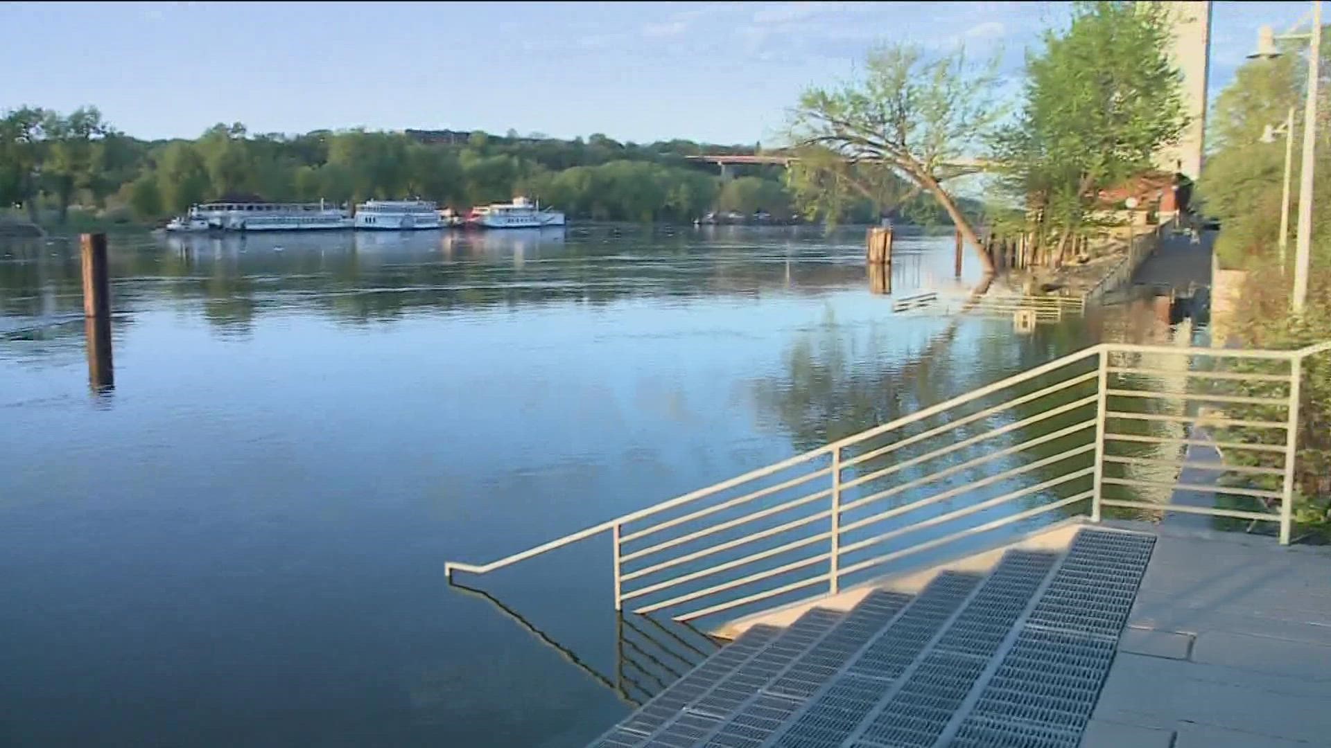
ST PAUL, Minn — Thanks to rising water levels on the Mississippi River, the City of Saint Paul announced on Saturday that it will be closing down Water Street on Monday due to anticipated street flooding.
Water Street/Lilydale Road, which is nestled along the south side of the Mississippi River, will be closed to foot, bike and vehicle traffic between Highway 13 and Plato Boulevard starting Monday and will reopen when water levels have dropped and are safe again for public use, officials said in a statement.
The river's current water level is 10.54 feet and is expected to crest around May 20 at 15 feet, based on the National Weather Service's forecasts officials said. Saint Paul's Flood Response Plan calls for action once water levels reach ten feet and the minor flood stage is set at 14 feet.
According to the city's director of public works, closures like this are standard practices when river levels begin to rise.
“We remind people to be safe and always follow all posted signs when enjoying the river," Sean Kershaw said in a statement. "Do not explore or go into any areas, trails, or roads that are closed due to the high water levels.”
City officials also urge people to use caution when visiting these areas near the river:
- Chestnut Plaza
- City House
- Crosby Farm Regional Park
- Desnoyer Trail
- Harriet Island Pavilion and public dock
- Hidden Falls Regional Park
- Kelly's Landing
- Lamberts Landing
- Lilydale Regional Park
- Raspberry Island
- Upper Landing
- Watergate Marina
No other streets or roads in Saint Paul will be threatened by the rising water levels, city officials said.
For more information about the city's flood response, click or tap here.
Watch more local news:
Watch the latest local news from the Twin Cities in our YouTube playlist:

