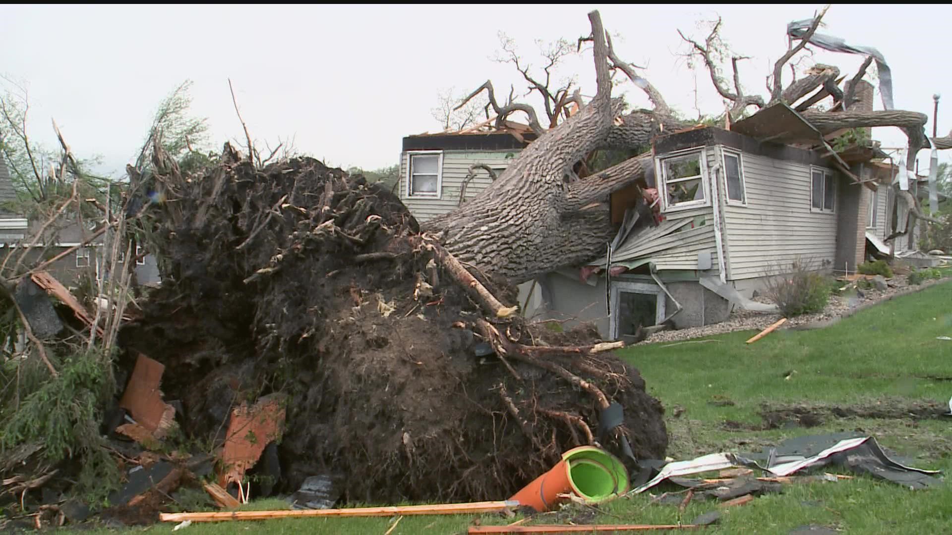
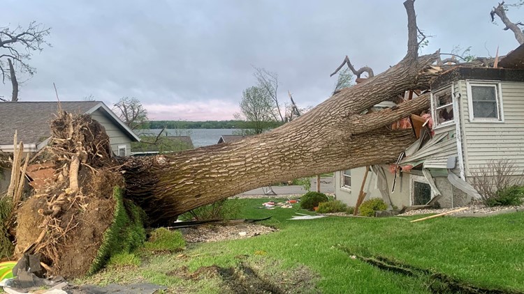
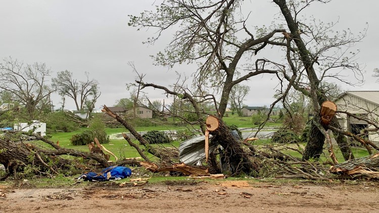
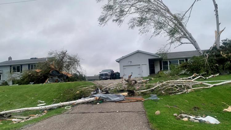
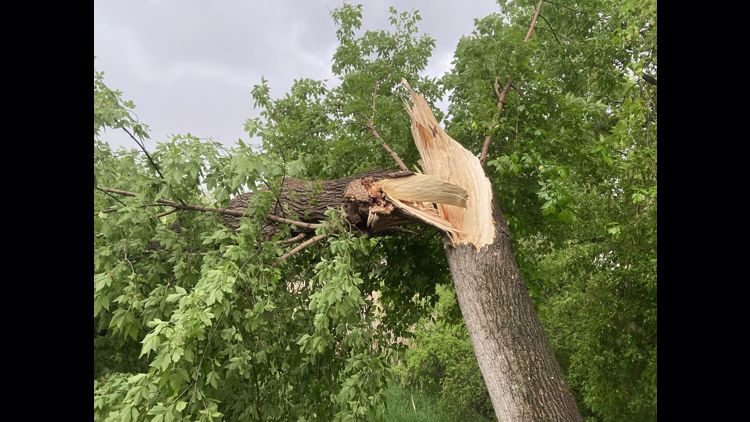
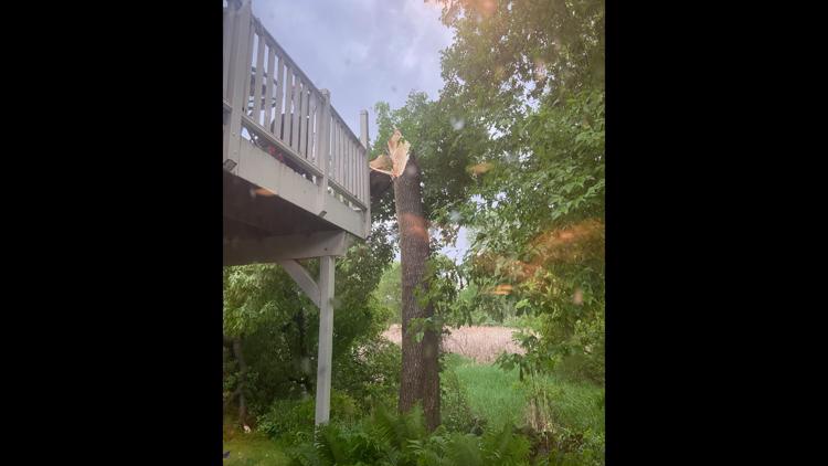
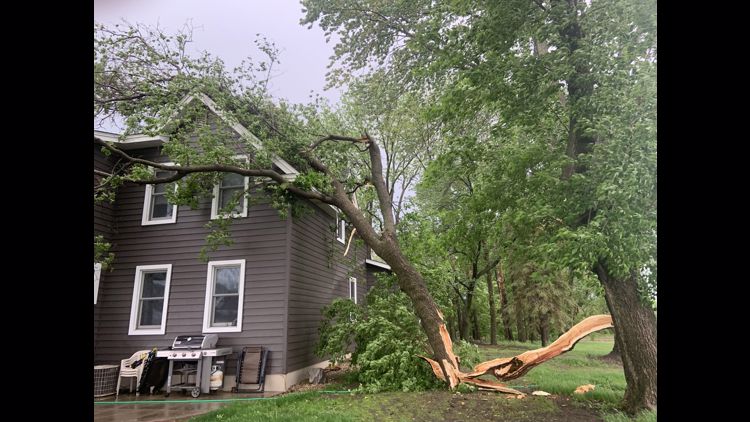
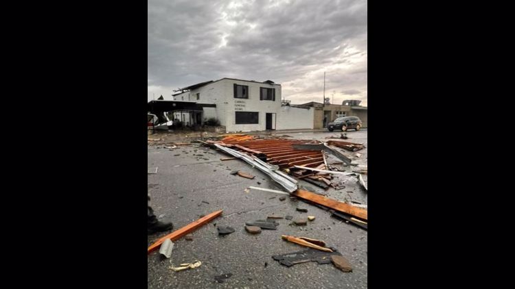
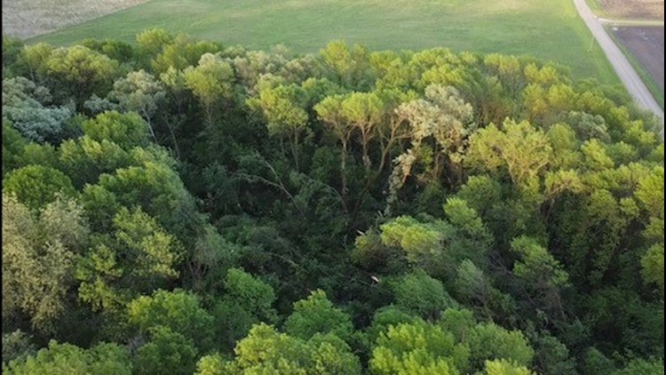
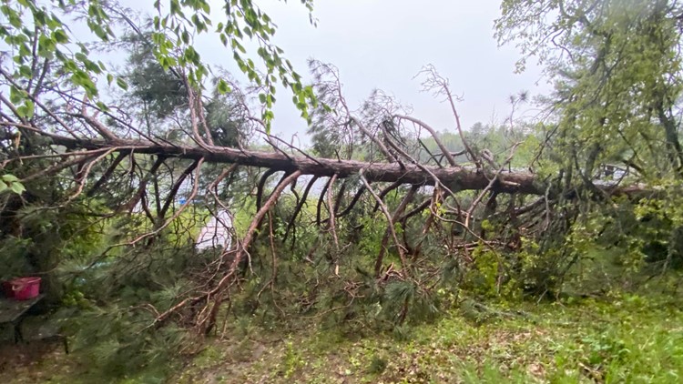
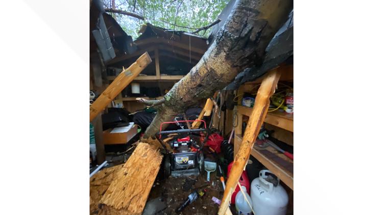
ALEXANDRIA, Minn. — It was a tumultuous night of weather across Minnesota, with tornado touchdowns, straight line winds and hail across many areas of the state. KARE 11 crews spread out across greater Minnesota and the metro, and below are the accounts of what they saw and heard.
The National Weather Service Storm Prediction Center updated a map Tuesday morning reflecting a handful of suspected tornado reports from the communities of Forada, Milan, Starbuck and Pipestone.
Later on Tuesday, the NWS confirmed EF-2 tornado damage across parts of Douglas and Todd Counties. Officials also confirmed EF-1 tornado damage in Eagle Bend and Plato.
Western Minnesota storm damage storms on May 30, 2022
Tuesday, May 31
Tuesday morning, the National Weather Service Twin Cities said survey teams will inspect damage in Cass, Douglas, Todd, Pope, Swift, McLeod and Carver counties in the wake of damaging storms and tornadoes.
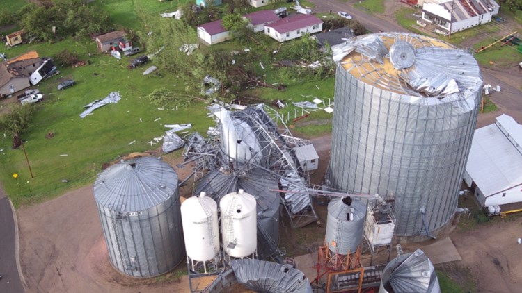
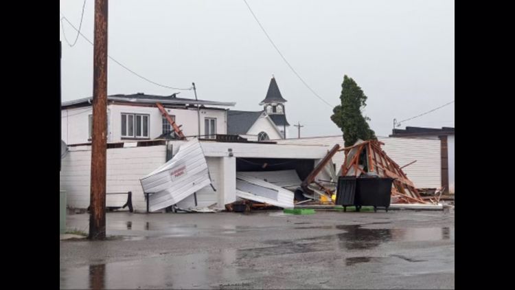
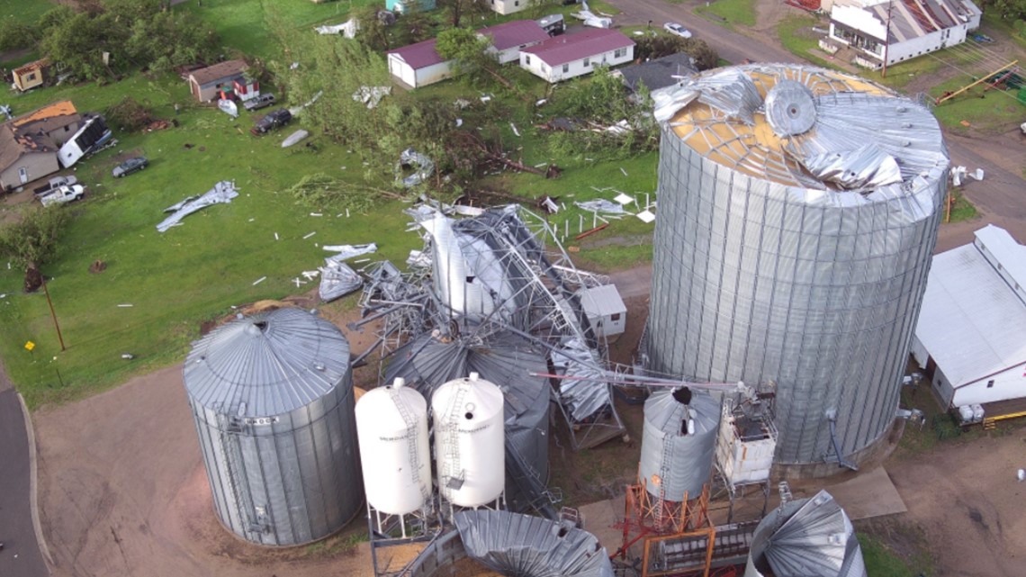
Forada Fire Chief Stephen VanLuik told KARE 11's Cece Gaines that the cleanup effort after Monday's likely tornado would be "long and drawn-out," with an estimated 75 structures either destroyed or significantly damaged.
VanLuik saw the suspected tornado, saying he estimated it as a half-mile wide and a mile and a half on the ground.
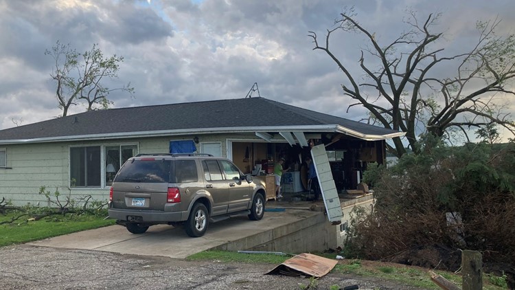
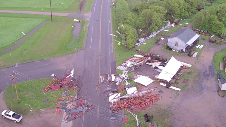
NWS crews confirmed EF-2 damage in Forada after winds of up to 120 mph hit the area. The survey team also found evidence of multiple vortexes and a path width of at least a half mile. NWS also confirmed EF-1 tornado damage in Eagle Bend and Plato. Survey teams reported winds of up to 95 mph in Eagle Bend and 90 mph in Plato.
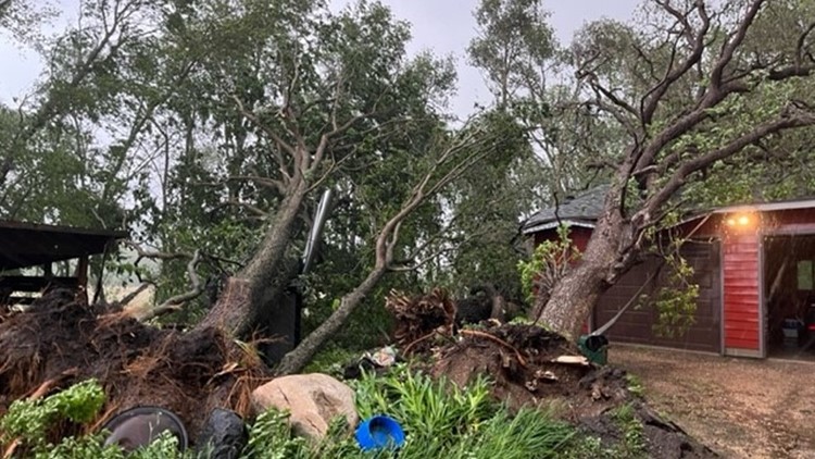
Officials with Cass County are estimating at least $120,000 worth of damage, saying the most extensive damage occurred in Poplar and Byron Townships. The NWS is still inspecting the area to determine whether the damage was caused by a tornado.
The Minnesota Department of Agriculture's (MDA) Rural Finance Authority determined the damage has resulted in an emergency for parts of Minnesota, making some farms impacted by this month's storms eligible for a zero-interest Disaster Recovery Loan.
For more information about how to file claims or look into receiving additional assistance after a damaging storm, click here.
As of 10 p.m. Tuesday, Xcel Energy is reporting more than 2,000 customers across southeastern South Dakota, Minnesota and Wisconsin are still without power.
Monday, May 30
9 p.m.
Monday night, Mayor David Reller of Forada, Minnesota gave KARE 11's Jennifer Hoff an exclusive look at the damage to the city caused by a likely tornado.
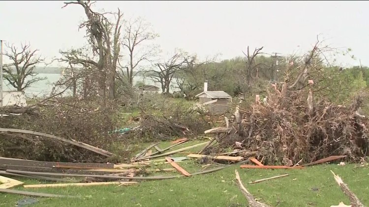
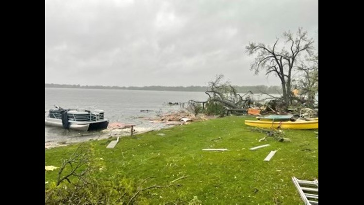
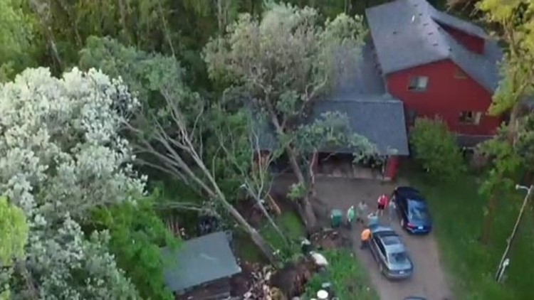
Drone footage from Severe Studios showed devastation on the shores of Maple Lake, with homes flattened or damaged to some degree, docks, boats and lifts flipped and submerged in the lake, and a situation one emergency official described as "chaos."
While Minnesotans are known for their big hearts and desire to help those in need, Douglas County officials are asking people to stay away from the scene, saying it is not yet safe and secure.
If the tornado in Forada is confirmed by the National Weather Service (NWS), it will be the second twister that has occurred in that area in about 17 days. The first was a confirmed tornado that touched down in Alexandria on May 13.
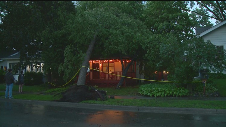
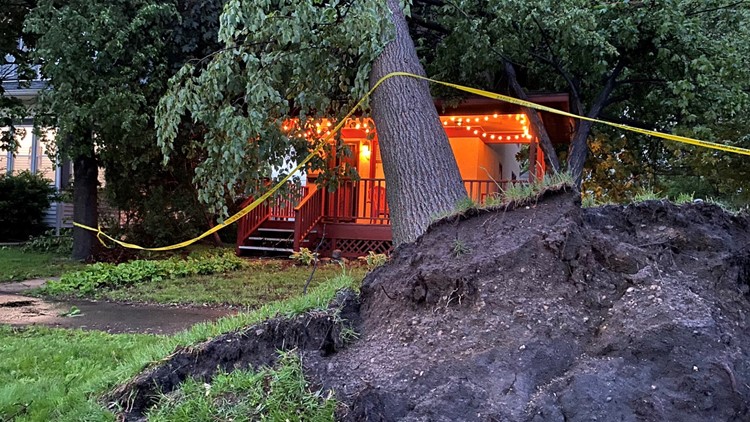
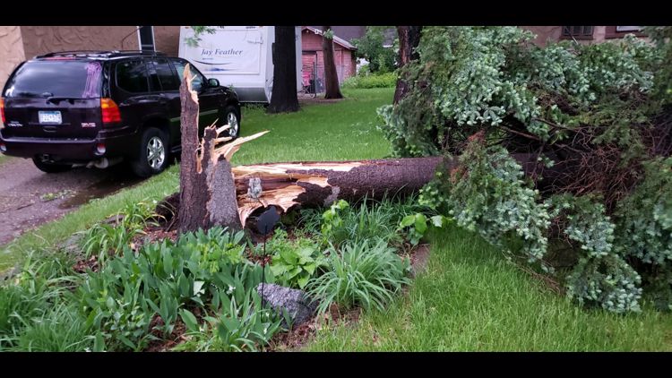
KARE's Danny Spewak was keeping an eye on storms in Minneapolis, where he saw a tree that had fallen on a house on the southside of the city in the Kingfield neighborhood.
8:30 p.m.
According to Xcel Energy, more than 7,000 Twin Cities metro residents were without power as storms continue east into Wisconsin.
7:30 p.m.
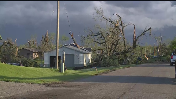
The Todd County Sheriff's Office shared photos of the damage sustained in Eagle Bend after it was confirmed a tornado went through the area. Officials say power lines are down and many roads remain impassable.


6 p.m.
Storms started moving through Cass County, where radar indicated some rotation. Meteorologist Ben Dery said the line of storms is continuing to move east, expanding further into southern Minnesota. Wind gusts have reportedly exceeded 60 mph near New Ulm.
Heavy damage has been reported following a confirmed tornado, near Alexandria. Damage reportedly includes structural and downed trees.
Pea-sized hail was also reported near Gaylord, Minnesota.
Straight line winds near Osage were measured at 68-70 mph, while 90 mph winds were recorded in Appleton, Minnesota, where a tornado was confirmed earlier this afternoon.
The line of storms is expected to reach the Twin Cities metro by 7 p.m.
5:20 p.m.
The National Weather Service has also confirmed tornadoes in Eagle Bend and Nelson, Minnesota just after 5 p.m.
5 p.m.
A dangerous storm of embedded rain-wrapped tornadoes is pushing across western Minnesota has produced a confirmed tornado near Alexandria.
The tornado, confirmed around 4:40 p.m., is moving northeast at 60 to 80 miles per hour.
The tornado has damaged cabins, homes and boats on Maple Lake, according to KARE 11 meteorgolosit Belinda Jensen.
The same band of storms producing severe weather and tornadoes in the western half of the state is forecast to reach the Twin Cities metro around 7 p.m. and will quickly move through the area.
Multiple Tornado Warnings have been issued by the National Weather Service Monday afternoon.
This is a developing story. KARE 11 will provide more updates as new information becomes available.
WATCH: Live radar and storm updates from the KARE 11 weather team:

