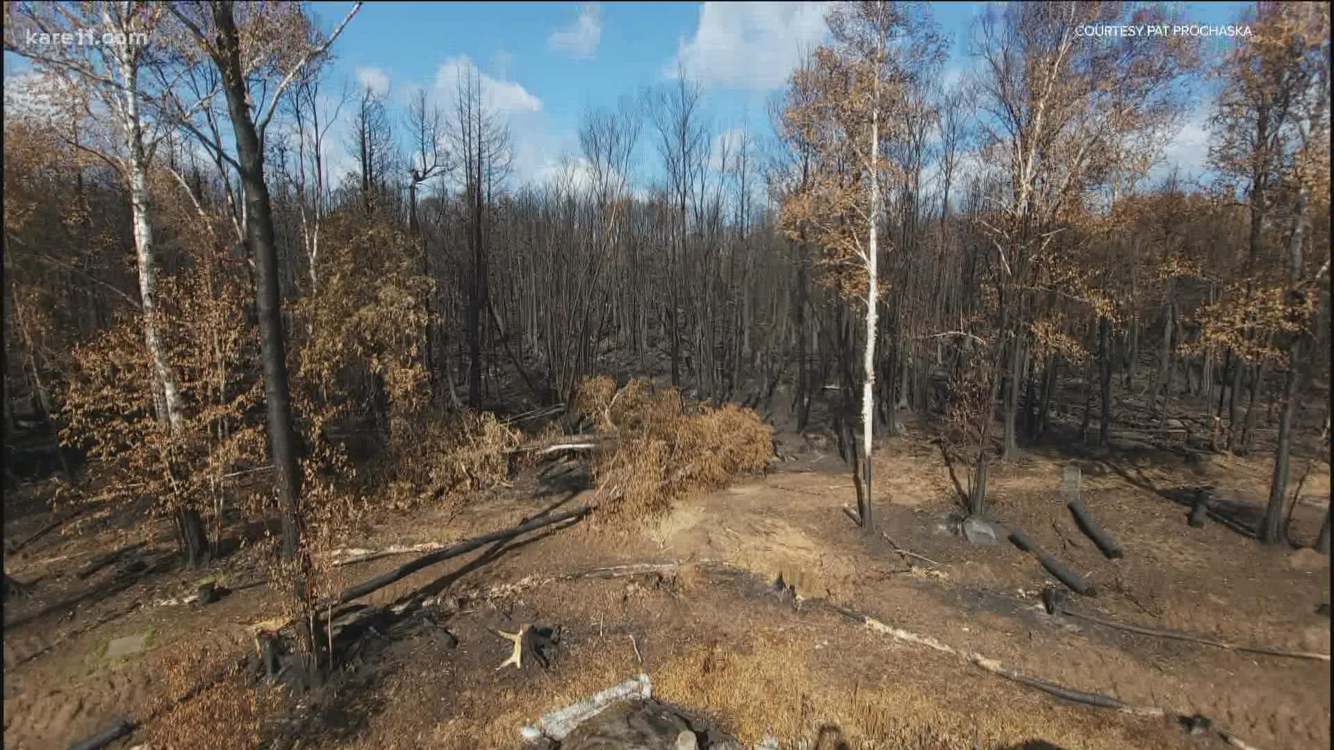
BLOOMINGTON, Minn. — Editor's note: The video above first aired on Sept. 22, 2021.
In the natural world, fire can be a reset button of sorts: A way to weed out old growth and invasive plants while promoting new species and the return of native vegetation.
Small, controlled fires are also the best defense against uncontrolled wildfires, and that is the reason behind planned burns that will take place in the Minnesota Valley National Wildlife Refuge (MVNWR) over the next month.
"Last summer, a prolonged drought combined with a period of low humidity and high temperatures contributed to a historic high-intensity wildfire season in Minnesota," explains a release sent out by the U.S. Fish and Wildlife Service (USFWS) to announce the upcoming prescribed burns. "This period reaffirmed the importance of periodic prescribed burns, which reduce hazardous fuel loads from dead vegetation, reduce the threat of wildfire to adjacent private lands, and ultimately protect communities from the impacts of severe wildfire."
Safety will be the number one concern when conducting the operations, according to the USFWS. Wind speed and direction, temperatures, relative humidity and vegetation conditions will all be measured and considered before a burn is carried out by thoroughly trained fire crews. Roadways and trails may be marked with signs reading "prescribed burn ahead," and residents and visitors will be asked to use caution.
Public lands in or connected to the refuge scheduled for burns this year include:
- Bloomington Visitor Center - Long Meadow Lake Unit (Hennepin Co.)
- Rapids Lake Visitor Center and Unit (Carver Co.)
- Jessenland Unit (Sibley Co.)
- Louisville Swamp Unit (Scott Co.)
- Erin Prairie WPA (Rice Co.)
- Cobb River WPA (Blue Earth Co.)
- Howard Farm WPA (Blue Earth Co.)
- Kaul WPA (Blue Earth Co.)
- Roberts WPA (Blue Earth Co.)
- Watonwan WPA (Blue Earth Co.)
- Dodge Center Creek WPA (Steele Co.)
- Mud Lake WPA (Sibley Co.)
Due to the many variables involved, the exact dates and times of the prescribed burns may not be known until the day before, or even the day of each burn. Timely updates will be provided on both the MVNWR Facebook page and website.
The Minnesota Valley National Wildlife Refuge and Wetland Management District is comprised of 22,000 acres over a 14-county area. For more information on this natural resource, and detailed maps on the refuge check out the USFWS website.
Watch WeatherMinds:
Watch the latest deep-dives and explainers on weather and science in our YouTube playlist:

