HENNEPIN COUNTY, Minn. — A drier-than-usual summer, including a record September for low moisture, is leading to worsening drought conditions across Minnesota.
The latest map released by the U.S. Drought Monitor Thursday shows nearly 4% of the state is experiencing extreme drought, including parts of five counties in the Twin Cities metro. Last week the map showed zero locations under the extreme drought category.
Bigger picture is that 77% of Minnesota is considered at least abnormally dry, up from 54% last week. Meteorologists say rainfall has been below average for seven of the last nine months, with June and September registering as the driest.
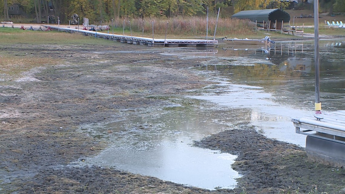
Here in Minnesota the lack of moisture is reflected in many ways, from scorched lawns to low lake and river levels. Watercraft owners are beginning to worry whether they'll be able to get their boats and pontoons on trailers and out of the water to store them for winter.


Nearly all of the Mississippi River basin, from Minnesota through Louisiana, has seen below-normal rainfall since late August. The basin from St. Louis south has been largely dry for three months, according to the National Weather Service.
The timing is bad because barges are busy carrying recently harvested corn and soybeans up and down the river. The U.S. Coast Guard said at least eight “groundings” of barges have been reported in the past week from Missouri south through Louisiana, despite low-water restrictions on barge loads.
Watch more WeatherMinds:
Watch the latest deep-dives and explainers on weather and science in our YouTube playlist:

