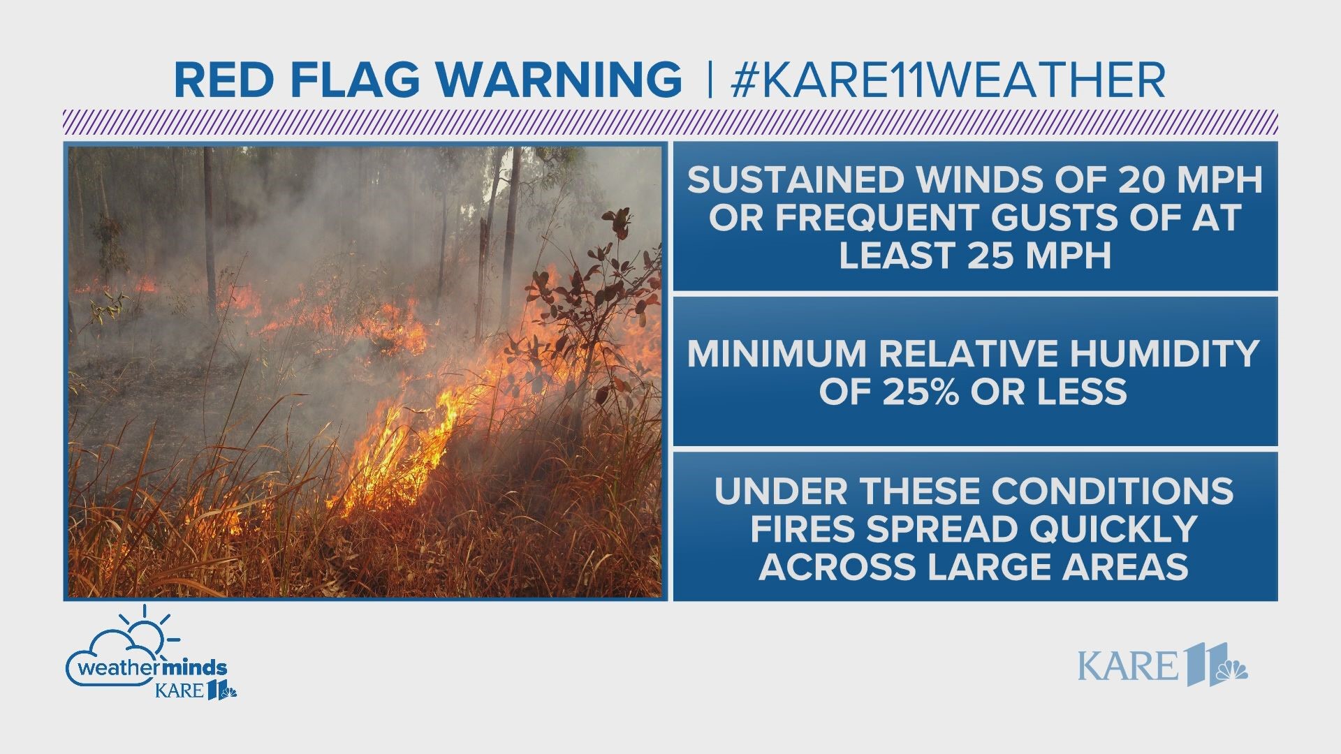
DULUTH, Minn. — The National Weather Service has issued a fire weather watch and a Red Flag Warning for large portions of Minnesota Friday. That means conditions critical for fires to start and spread, including warm temps, gusty winds and low humidity, are expected.
The difference between the two alerts is timing: A Fire Weather Watch is issued up to 72 hours before the above conditions are expected to occur, while a Red Flag Warning is issued when the conditions above are expected to occur or are occurring within the next 24 hours.
Much of central, northern and western Minnesota is impacted by the watch and warning, including the following counties: Becker, Beltrami, Benton, Big Stone, Cass, Chippewa, Clay, Clearwater, Cook, Crow Wing, Douglas, Grant, Hubbard, Itasca, Kandiyohi, Kittson, Koochiching, Lac Qui Parle, Lake, Lake Of The Woods, Mahnomen, Marshall, Meeker, Morrison, Norman, Otter Tail, Pennington, Polk, Pope, Red Lake, Renville, Roseau, St. Louis, Stearns, Stevens, Swift, Todd, Traverse, Wadena, Wilkin and Yellow Medicine.
Officials with the Minnesota Department of Natural Resources (DNR) warn that any fires that do start will likely spread rapidly. Any burning done recently should be checked to make sure all flames and embers are extinguished, as a single spark could trigger a wildfire under Red Flag conditions.
All outdoor burning is discouraged, and residents of the impacted areas are urged to stay tuned to updates and alerts, including Red Flag Warnings.
- Check the statewide fire danger and current burning restrictions webpage, which the Minnesota Department of Natural Resources updates daily.
- Follow @mnforestry (DNR Forestry) on Twitter for up-to-date information on statewide fire conditions.
Follow @mnics (Minnesota Incident Command System) for information on large wildfires.
And fire isn't the only danger that comes along with the weekend's forecasted high temps. The Minneapolis Pollution Control Agency (MPCA) has issued an air quality alert Friday for east central Minnesota. The impacted area includes the Twin Cities.
Air quality is expected to worsen Friday as sunny skies, hot temperatures, low humidity, and light winds produce conditions favorable for emissions of nitrogen dioxide (NOx) and volatile organic compounds (VOCs) near the Twin Cities that can quickly form ozone.
Those most impacted include:
- People who have asthma or other breathing conditions like chronic obstructive pulmonary disease (COPD), chronic bronchitis, and emphysema
- Children and teenagers
- People of all ages who are doing extended or heavy, physical activity like playing sports or working outdoors
- Some healthy people who are more sensitive to ozone even though they have none of the risk factors. There may be a genetic base for this increased sensitivity
The air quality alert goes into effect at noon Friday, and is set to expire at 9 p.m.
Ozone concentration will be the lowest in the morning hours Friday, will gradually rise midday, and peak in the late afternoon. Air quality will improve Friday evening.

