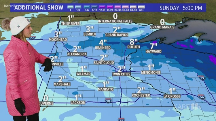
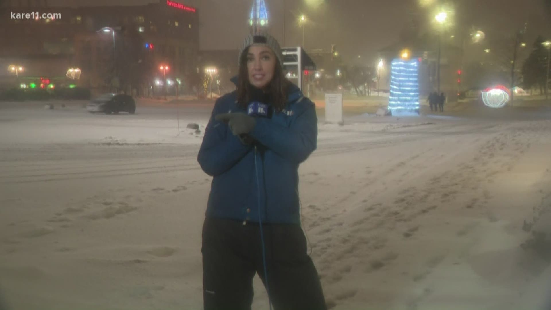
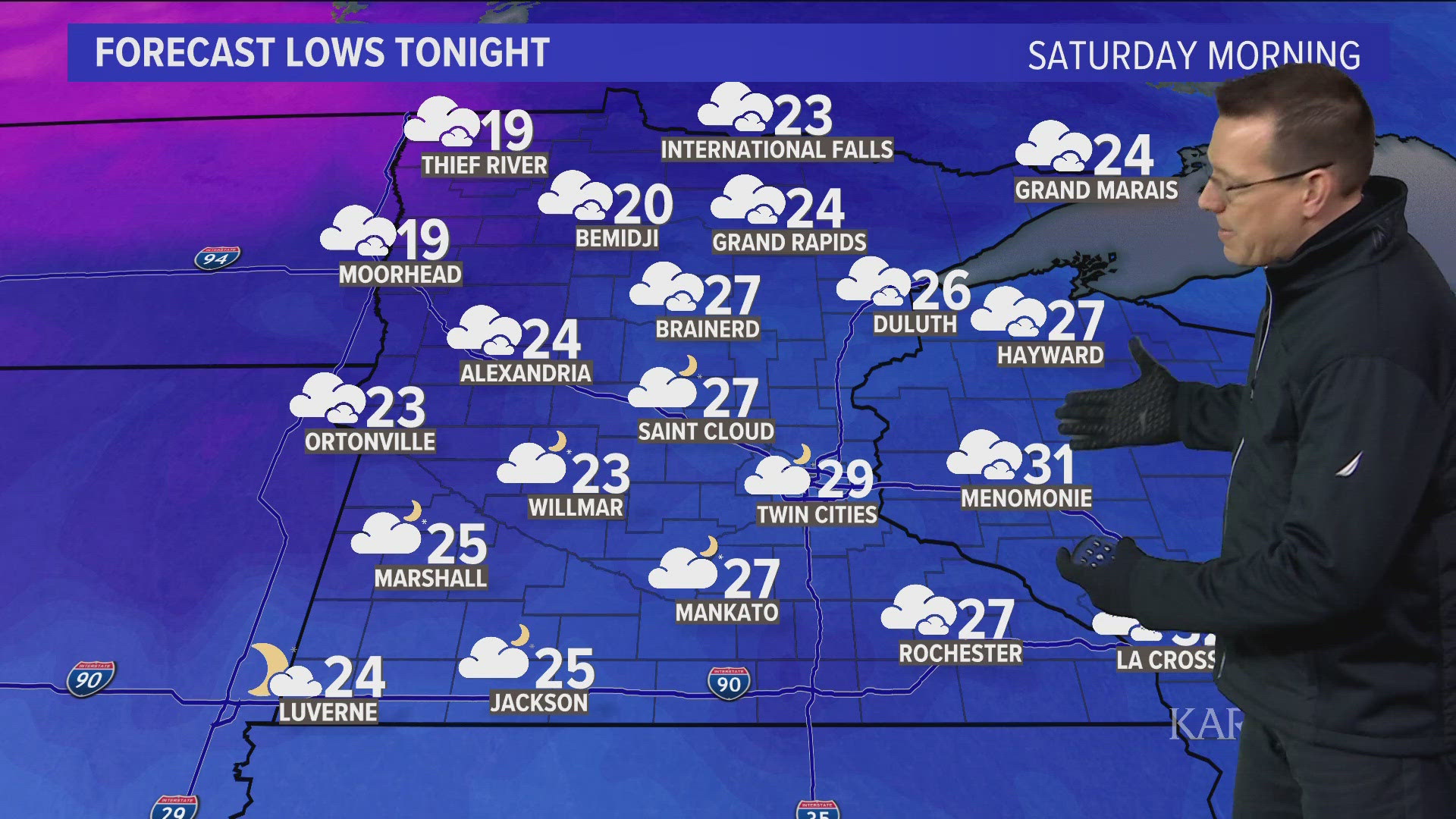
The winter storm watches and warnings across the region have been allowed to expire as the snowfall comes to end this afternoon.
A winter weather advisory is in effect for the metro and southeastern Minnesota until 5pm.
Snow totals of 5-7" were recorded across the metro since Friday evening, but not all of that was added to the snow pack as a wintry mix helped limit accumulations Saturday afternoon.
Farther north, where the snow was uninterrupted through the weekend, totals over a foot were common from Brainerd to Duluth.
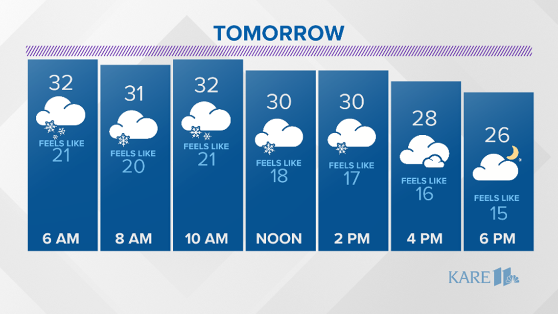
Now that the storm has moved on, the forecast remains quiet through the next week.

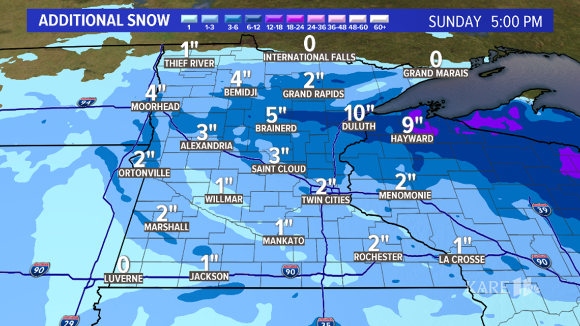

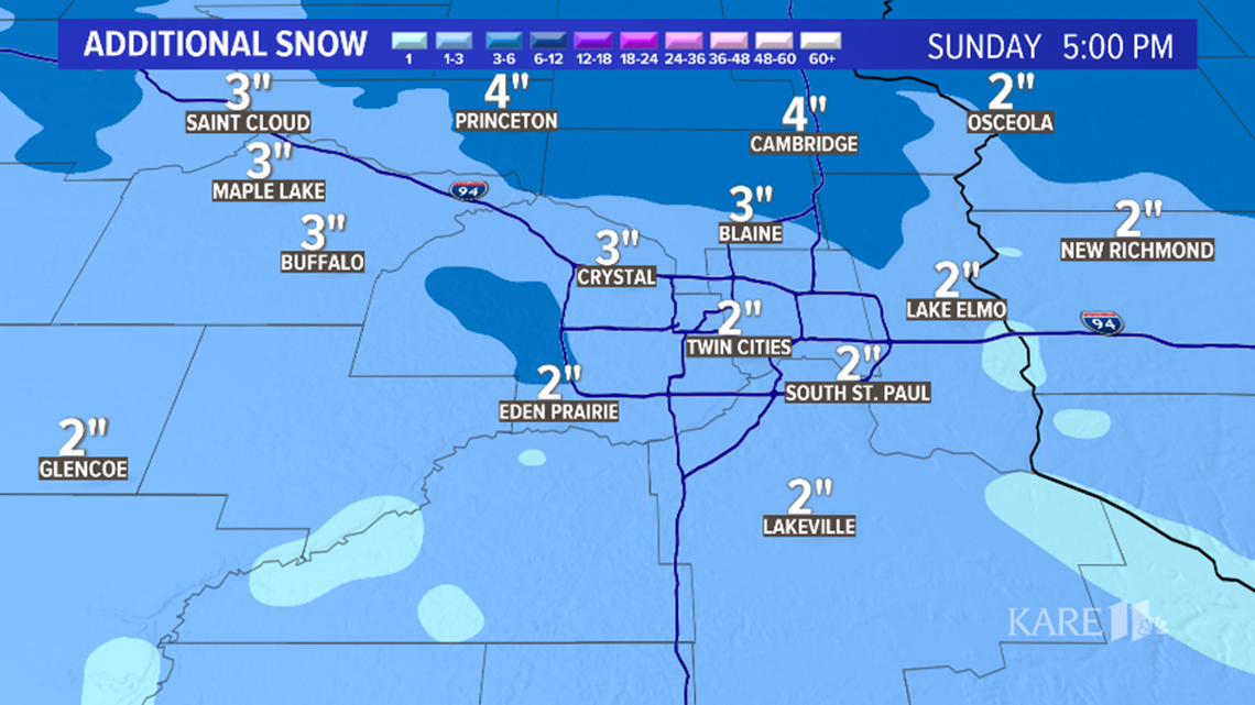

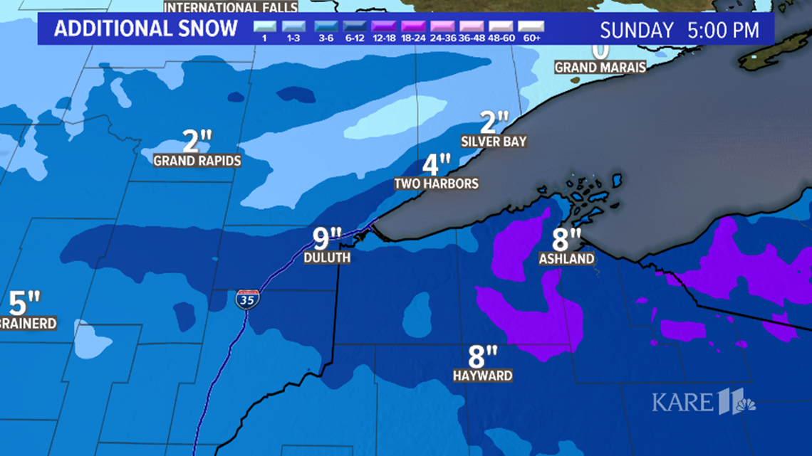
- 1 to 2 FEET of snow in Duluth and up the higher terrain of the North Shore.
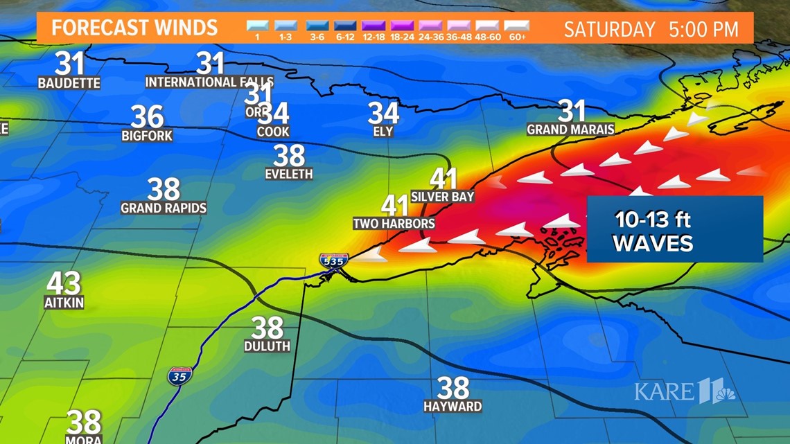
- 10 to 13 foot waves on the shores of Lake Superior by Sunday
- 50 mph wind gusts Saturday.


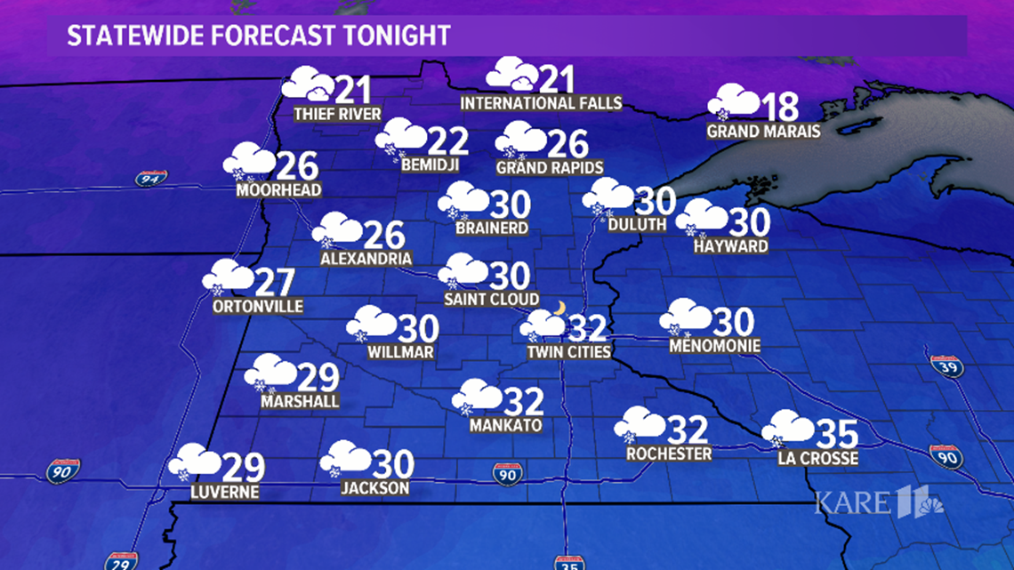

The best chance of seeing heavy snowfall accumulations is across the northern half of Minnesota, but even a minor shift in the track could drastically change things for the Twin Cities. At least a few inches of wet snow looks likely at this point in the metro but some places in northern Minnesota could see a foot to 18 inches of snow.
Stay tuned for the latest!


