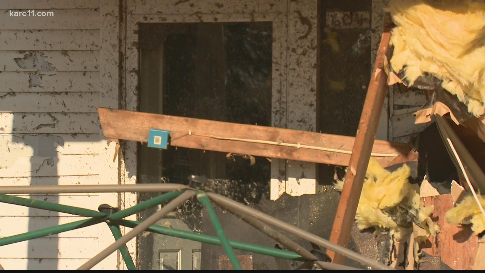
FARIBAULT, Minn. — The National Weather Service (NWS) has confirmed the first-ever December tornadoes to hit the state of Minnesota, after investigators surveyed damage from Wednesday evening's storms in Freeborn and Winona counties.
NWS said damage in Hartland, Minnesota was produced by a tornado, though the exact strength of the storm is still being determined. The Freeborn County Sheriff's office said preliminary investigation showed the tornado originated near the southwest corner of the county, then traveled northeast past Alden and into Hartland.
County officials said debris still needs to be removed from Hartland, and it's not yet completely to drive through the town. Power may not be fully restored to the area until Friday.
The National Weather Service originally reported damage to the city's bank and several homes when the storm first passed through the community on Wednesday night.
The NWS La Crosse office also confirmed an EF-0 tornado touched down east/southeast of Lewiston in Winona County, as well as an EF-2 tornado touchdown north of Neillsville, Wisconsin.
NWS investigators confirmed additional tornadoes near Stanley, Wisconsin and Rudd, Iowa.
Video Courtesy: Lillie Nielsen
A Rochester man was killed during a line of intense severe weather that swept across the southern potion of the state on Wednesday.
Authorities tell KTTC-TV that Keith Dickman, 65, was killed when a 40-foot tree fell on top of him during the storm.
Tornado warnings were issued in several counties in southeastern Minnesota, including Faribault, Freeborn, Fillmore, Houston, Olmsted, Wabasha and Winona.
Strong winds were reported across southern Minnesota, with a 78 mph wind gust reported at one point in Rochester, and 85 mph in Plainview.
Heavier rain, lightning, thunder and wind reached the southern metro after 7 p.m., as the line of storms pushed to the northeast.
Tornado watches were issued for portions of southern Minnesota earlier in the afternoon as a line of strong thunderstorms were forecast to quickly move across the state on Wednesday evening. At the same time, northern portions of the state were under winter storm warnings.
High winds were one of the few consistent concerns across the state.
As of 10 p.m., most of the power outages throughout the state were reported in southeastern Minnesota. Over 1,100 people in Hennepin County remained without power.
The same system was blamed for wind damage across portions of Colorado, Kansas, Nebraska and Iowa earlier in the day, with several reports of downed tree, damaged buildings, and overturned trucks on highways. Wind gusts were reported as high as 100 mph in some portions of Colorado.
A number of Minnesota communities issued reminders about weather safety on social media ahead of the forecasted storms.
Several cities prepared for potential flooding from heavy rain on top of recent snowfall, as well as the possibility of refreezing as temperatures were forecast to drop rapidly overnight once the storm system moved through.
If you see interesting weather in your area, and you're able to safety snap a photo or record a short video, send your pics and videos to us using the Near Me feature on the KARE 11 app, or by texting your photos to 763-797-7215.
Watch more WeatherMinds:
Watch the latest deep-dives and explainers on weather and science in our YouTube playlist:


