
GOLDEN VALLEY, Minn. — Our first potent snow system of the season is promising enough snow for the KARE 11 weather team to issue a Weather Impact Alert for Thursday.
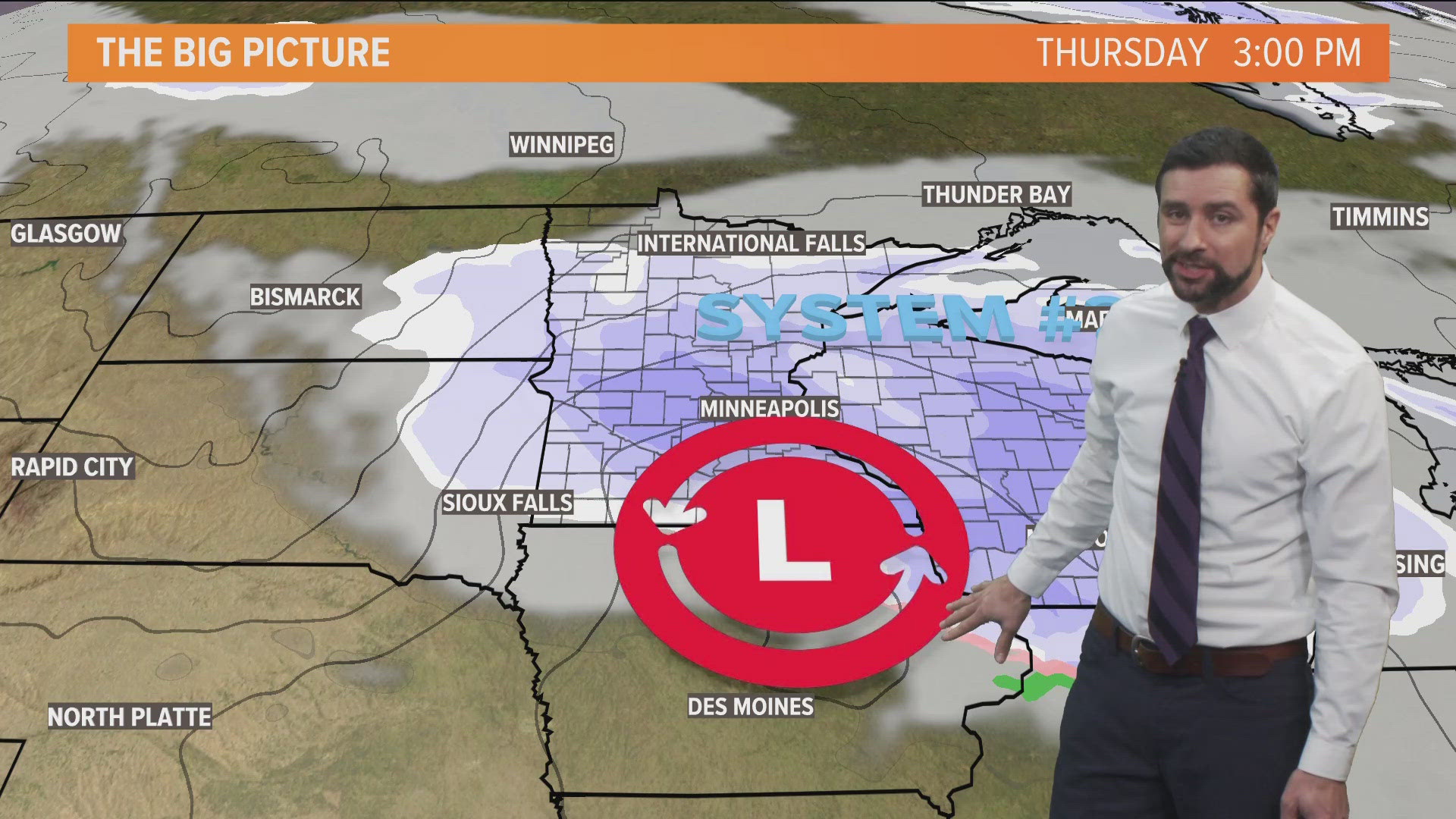
KARE 11 meteorologist Ben Dery says a clipper system is forecast to deliver a swath of snow across the region from northwest to southeast, ramping up before daybreak. The timing is a major issue as a healthy dose of snow could make the morning commute brutal.
The main axis of snowfall is shaping up to fall along the I-94 corridor including the Twin Cities metro, and Dery says it could drop between 3 and 6 inches on us. Exactly where the heaviest band sets up is still up for debate, but for now plan on snowy conditions much of the day.
Dery says the heaviest snow is forecast to fall during the first half of Thursday but snow showers will linger into the afternoon meaning the evening commute could also be affected.
This will be an all-snow event, so expect no wintry mix or freezing rain. Snow will wrap up by Thursday evening.
For what it's worth, Ben says our snowiest day so far this season happened a week before Thanksgiving when 0.8 inches of snow fell at MSP Airport.