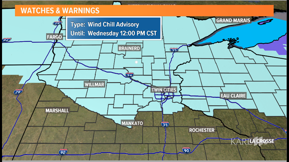
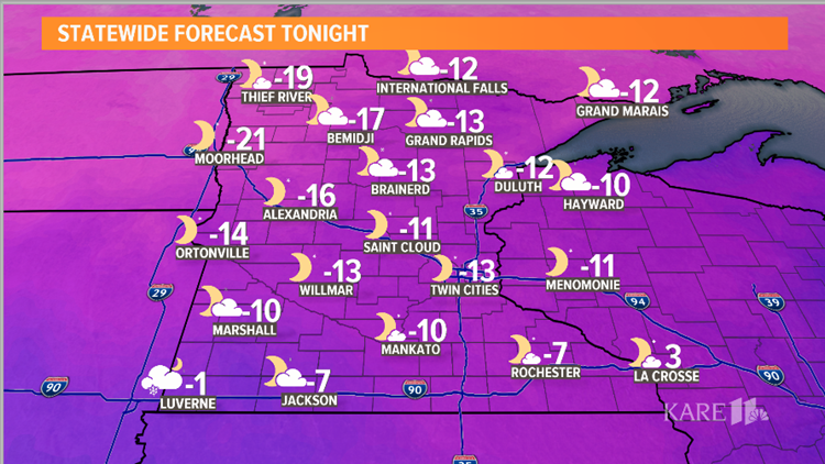
MINNEAPOLIS — Highs only reach into the single digits, and by Wednesday morning most folks will wake up to temps in the -10s range, with wind chills between -30 and -40 in the northern part of the state.


Metro area wind chills will be in the -10 to -20 range Tuesday, dipping between -20 and -30 early Wednesday. The northern half of the state won't get above zero on Wednesday, which means 48 to 54 hours of below-zero conditions across a large portion of the KARE 11 viewing area.


If there IS good news, it's that the deep freeze won't last long. Highs should return to near 20 by Thursday, and we may even hit 30 by Friday.
Light snow is expected Thursday morning with another 1"-2" possible with a quick moving clipper system.


