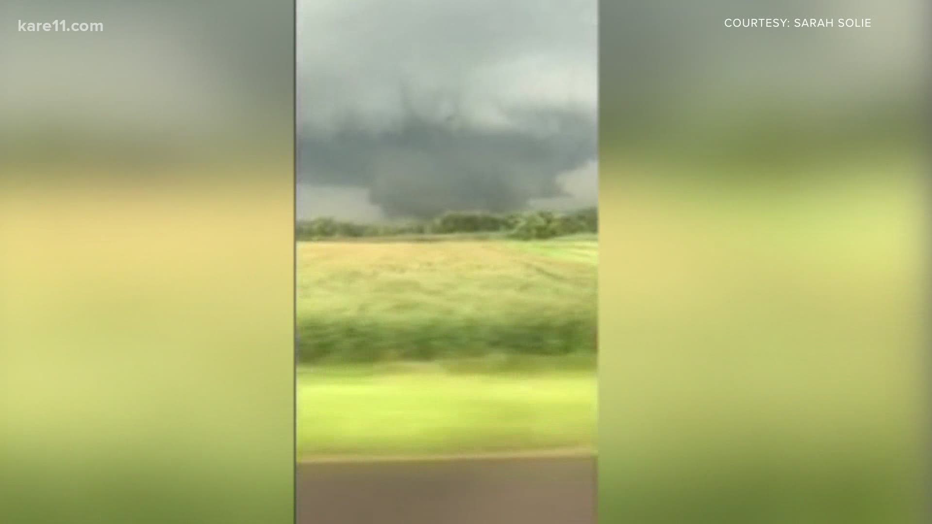
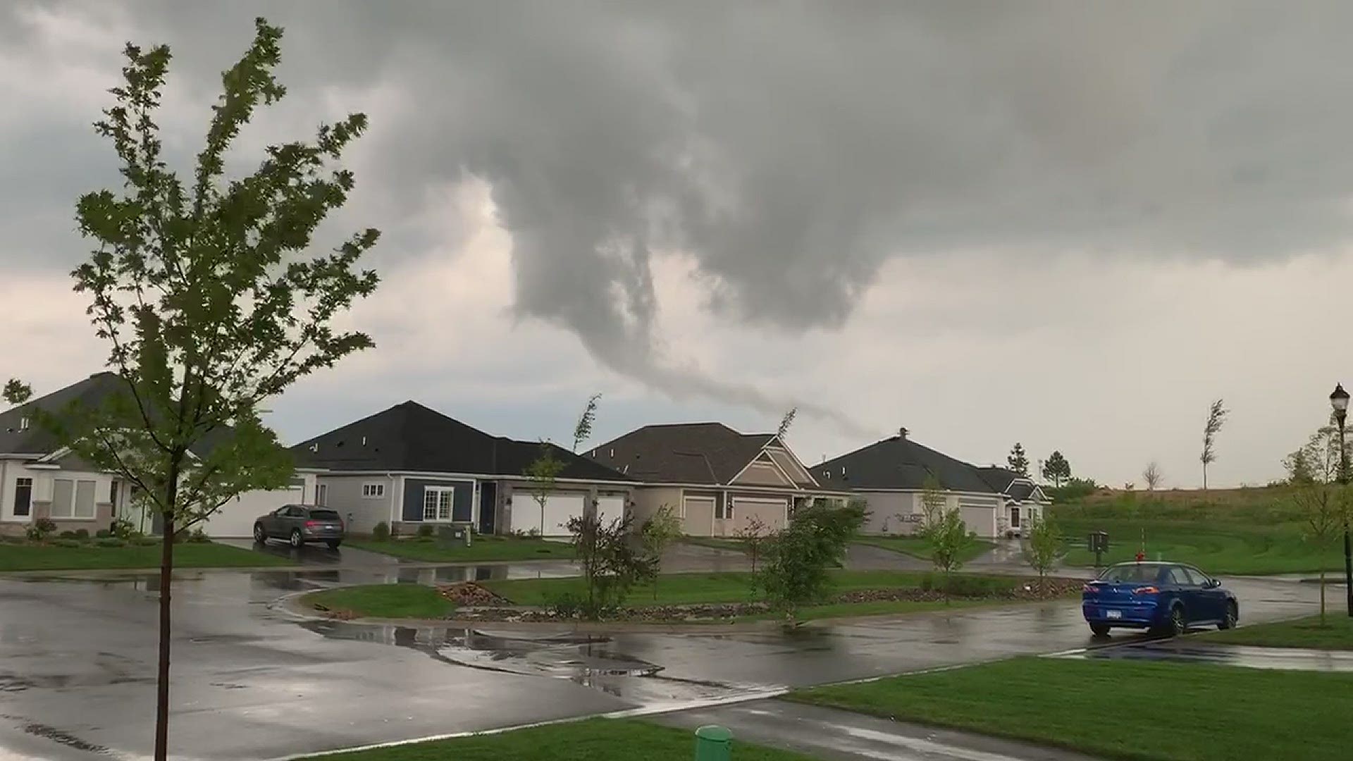
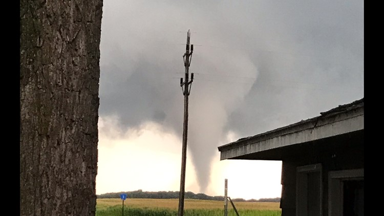
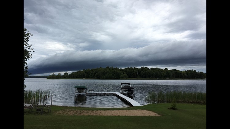
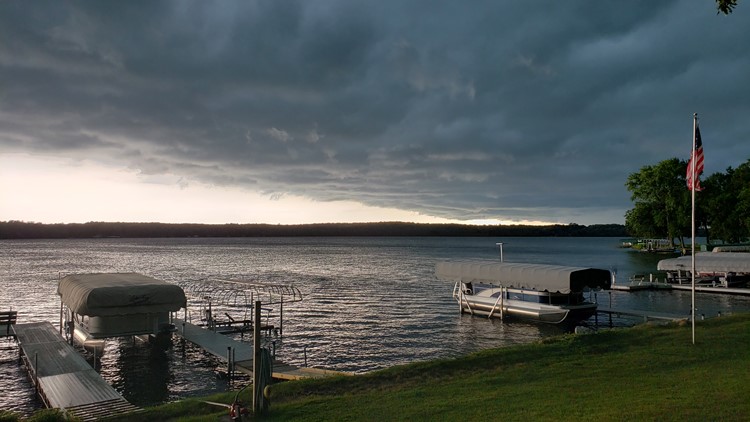
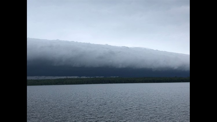
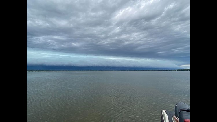
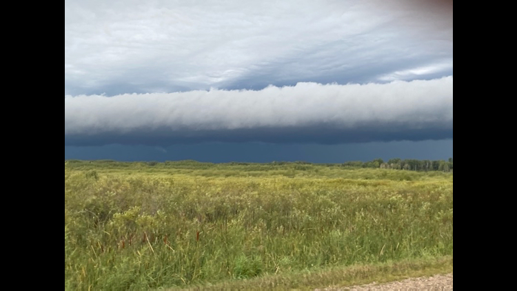
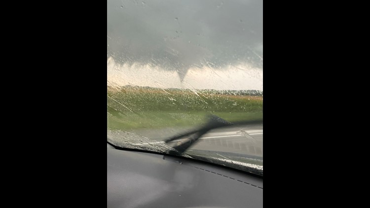
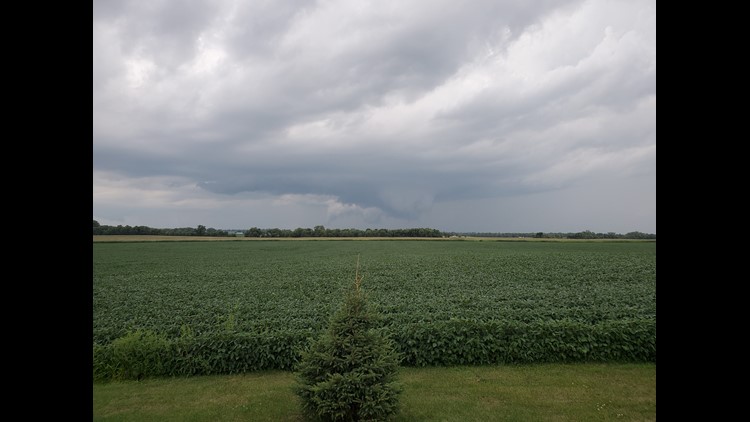
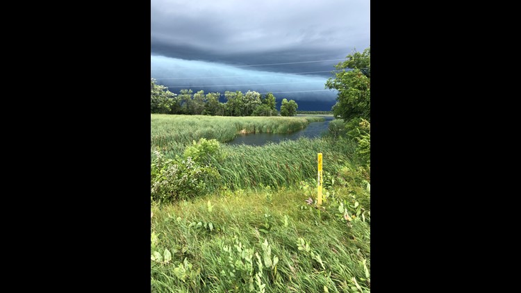
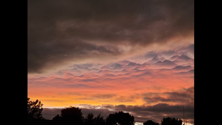
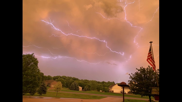
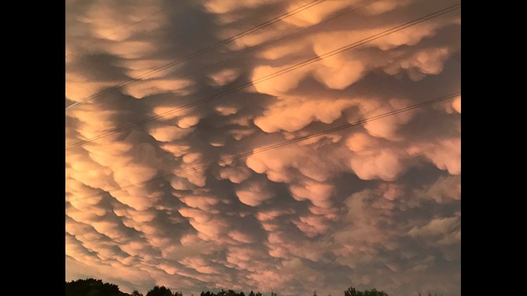
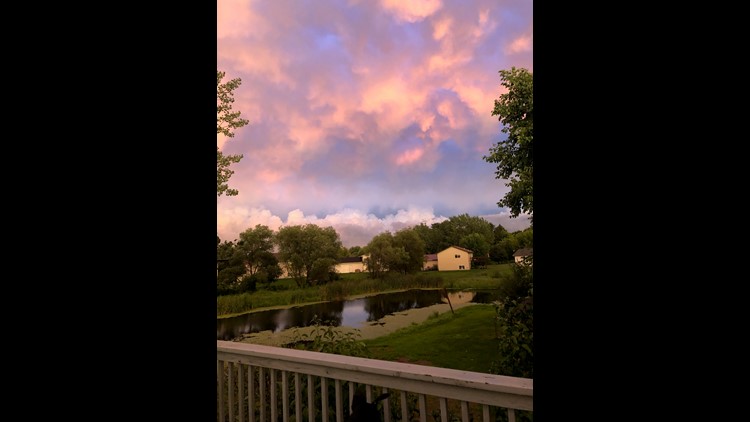
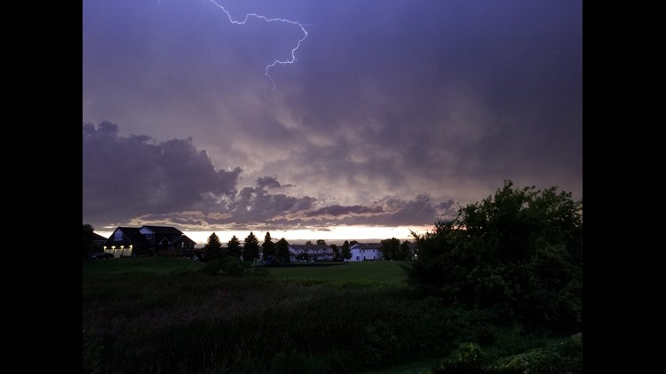
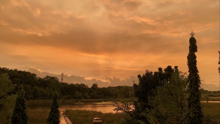
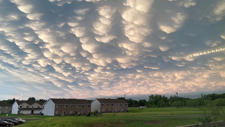
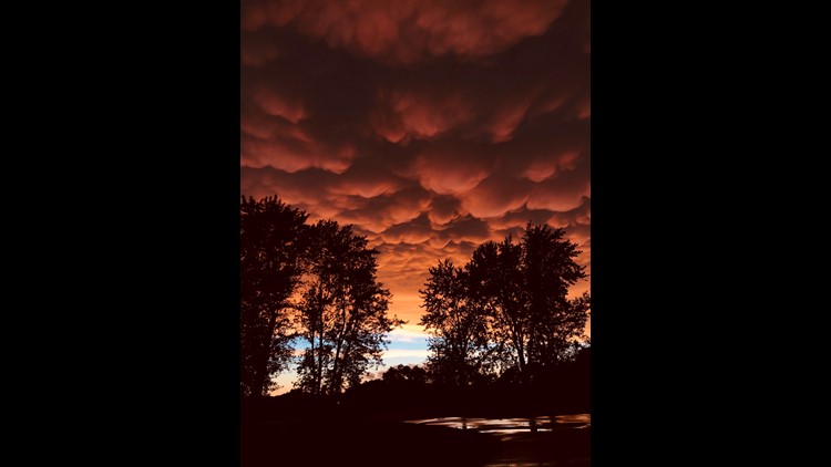
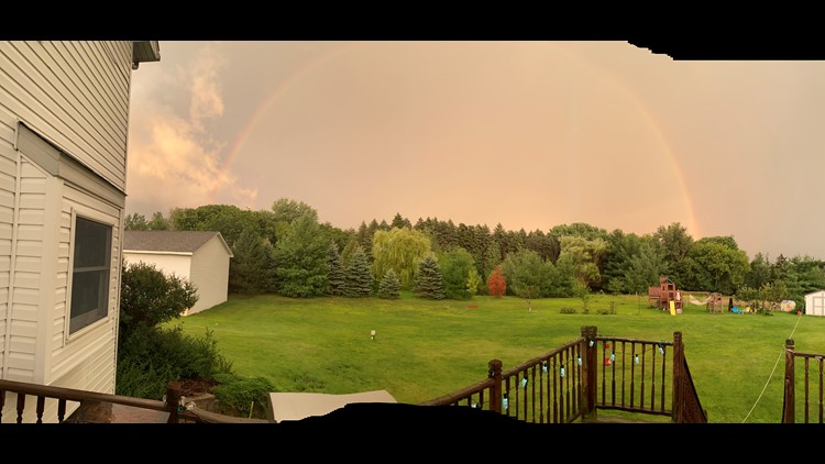
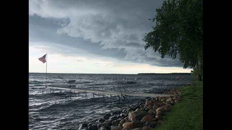
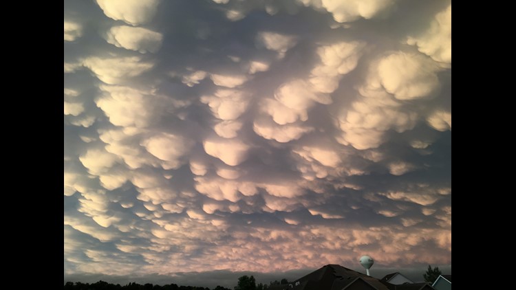
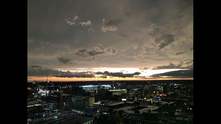
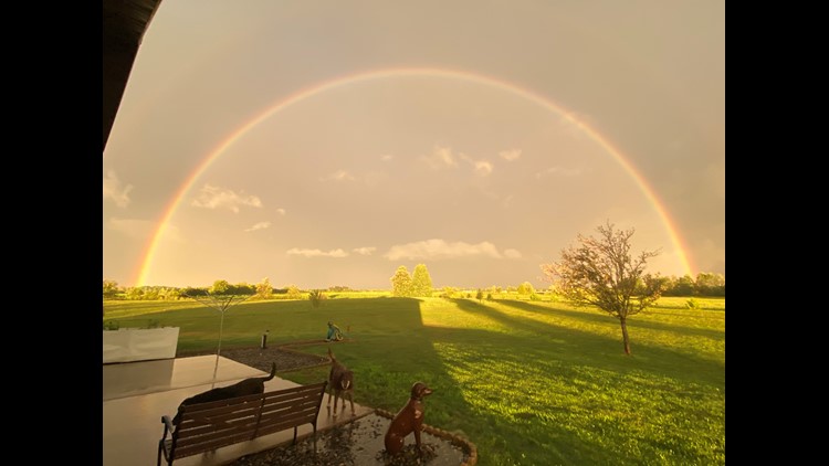
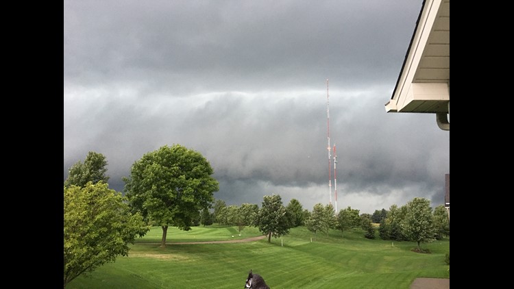
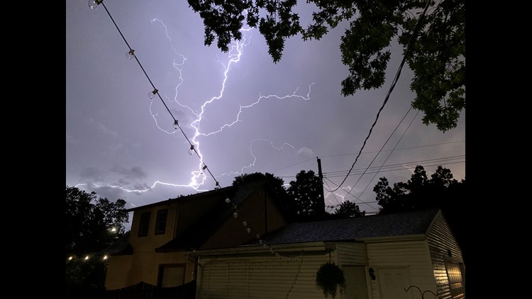
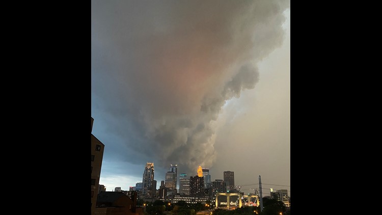
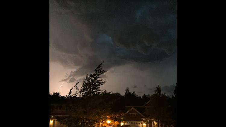
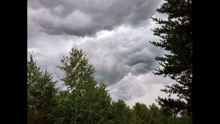
MINNEAPOLIS — A line of severe storms brought multiple reports of funnel clouds and possible tornado touchdowns across the state of Minnesota Friday evening. KARE 11 viewers shared numerous photos and video clips as the storms roared through.
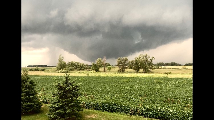
The National Weather Service (NWS) reported a possible tornado touchdown between Glencoe and Brownton in McLeod County around 5:45 p.m. Katherine Grant submitted a photo via the KARE 11 app, saying she could see debris alongside the tornado.

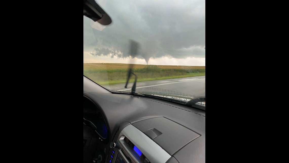
More funnels were reported minutes later near Cologne in Carver County, where KARE 11 viewer Chris Ramsey sent in video via the KARE 11 app.


Power outages were reported in several metro communities around 8:30 p.m., with Xcel Energy confirming more than 54,000 customers were without electricity as of 9 p.m. Friday. Xcel says more than 350 repair crews and contractors from multiple states spent the evening restoring power. Top priority is given to situations that threaten public safety, such as live downed wires, and repair priority is based on what will restore power to the largest number of customers most quickly, such as transmission lines or feeder lines that serve large amounts of customers.
As of 7:45 a.m. Xcel was still reporting 835 separate outages impacting 25,432 customers.
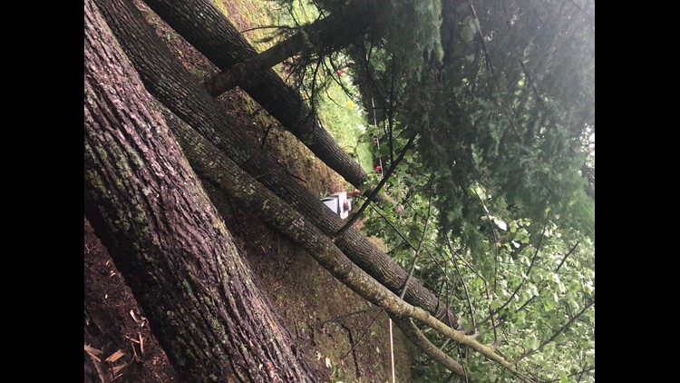
NWS also reported one-inch hail in Anoka and Richfield. Several large trees were also reported down in the Robbinsdale area.
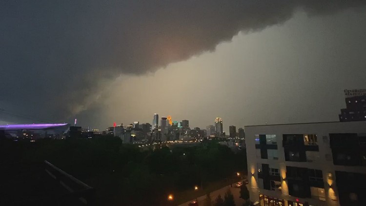
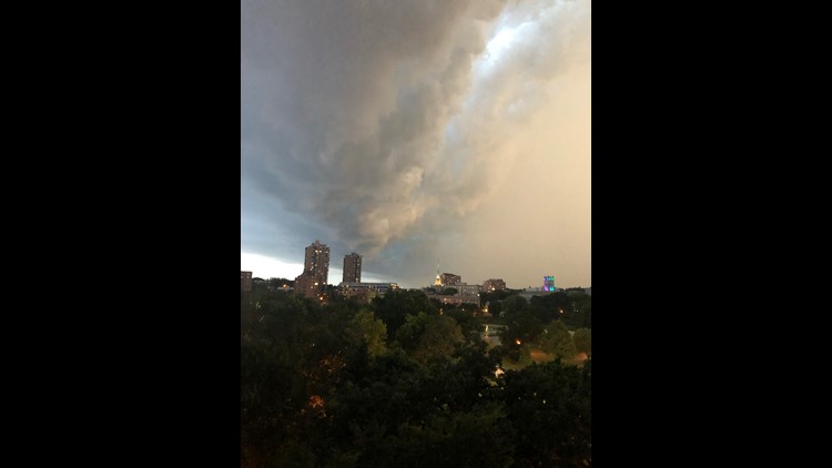
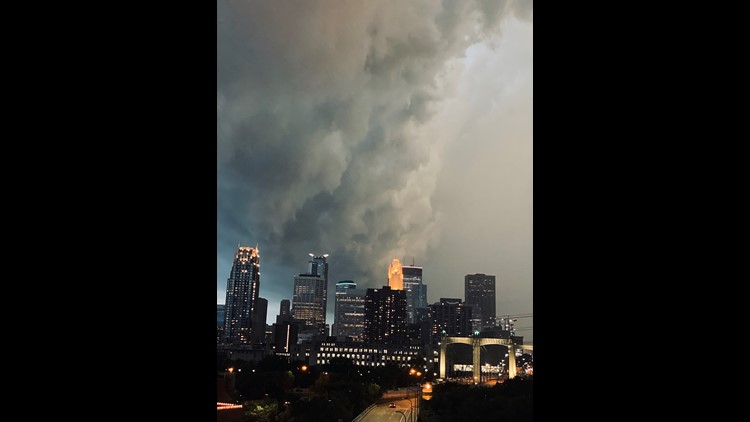
Salina Swanson shared a striking video showing the dark storm clouds as the leading edge of the severe weather approached Minneapolis.
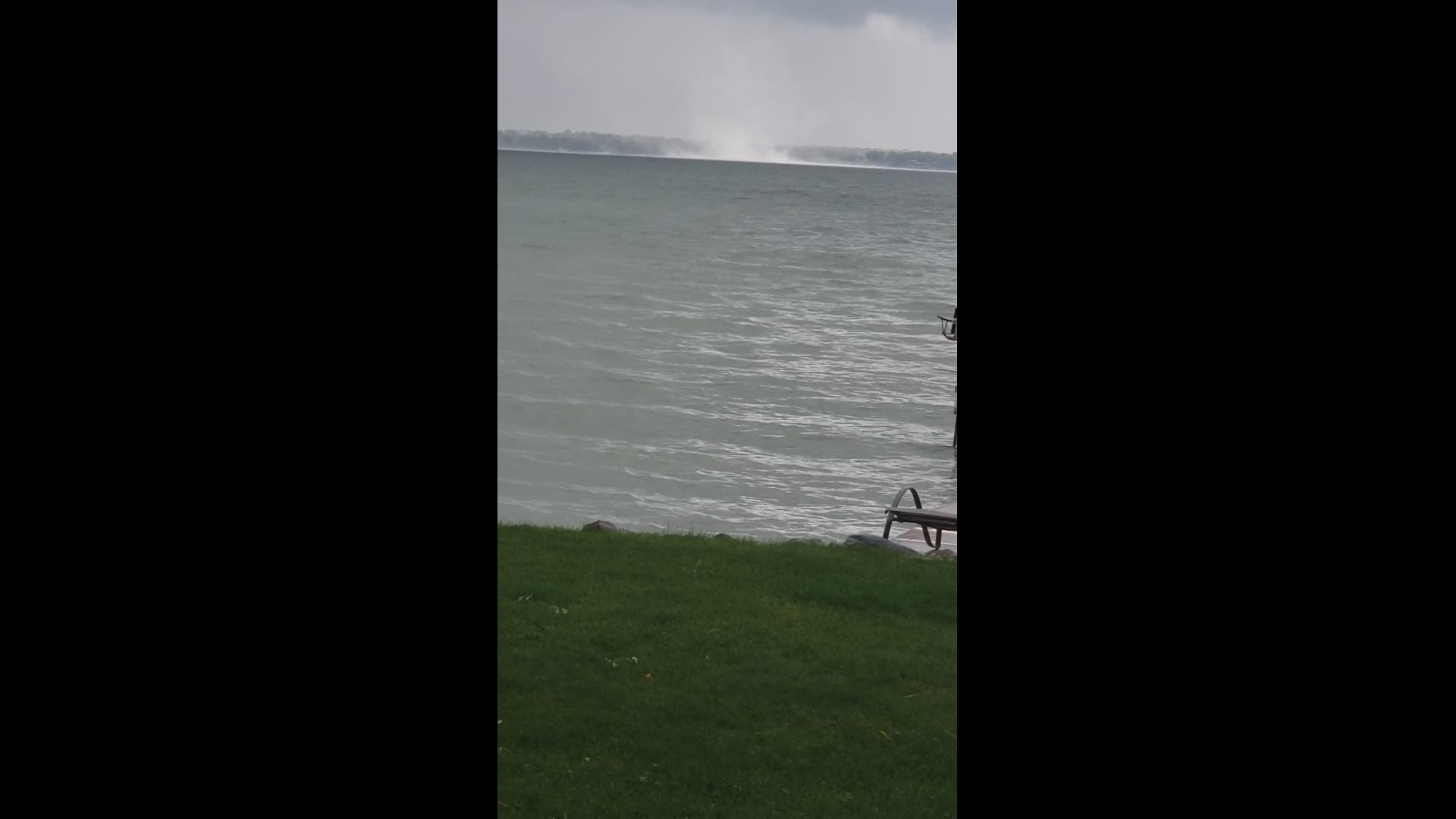
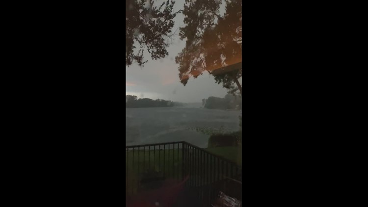
Funnel clouds were reported earlier in the evening in Kandiyohi County. KARE 11 viewer Nate Reznechek shared footage of an apparent waterspout over Green Lake near Spicer, where spotters also reported a tornado on the ground just before 6 p.m.
NWS received multiple reports of trees and power lines down on the south side of Green Lake.
Earlier in the day, NWS received multiple reports of three possible tornadoes that formed in a line west of Elbow Lake in Grant County just before 4 p.m., including possible brief touchdowns.
A spotter also reported observing a funnel cloud over the Alexandria Airport around 4:20 p.m. Photos were shared with KARE 11 on Twitter, as well as a video of the funnel swirling:
Tree damage was reported in Sartell, while roof damage and an overturned trailer were reported near Randall in Morrison County.
Storm survey crews from NWS will examine many of these areas in the coming days to determine if the damage was caused by a tornado or straight-line winds, and determine the size and strength of the storms.
When it's safe to do so, we encourage you to share your storm photos and videos with us through the KARE 11 app, or by texting them to 763-797-7215.
Your Photos: Severe Weather 8-14-2020

