
DULUTH, Minn. — EDITOR'S NOTE: An earlier version of this article incorrectly suggested the closure affected the entire Superior National Forest and incorrectly said the forest was part of the National Park Service, when it is managed by the U.S. Forest Service. A corrected article appears below.
The U.S. Forest Service (USFS) announced the emergency closure of several forest roads and "restricting occupancy and use" within northern Minnesota's Superior National Forest Monday, citing storm damage to areas and infrastructure across the 3 million-acre forest that could potentially be deemed unsafe.
The closures include 23 roads and one wilderness point of entry as shown in a map published on the USFS website. The USFS also posted the full list of affected roads online.
“The safety of our visitors, residents and staff is our priority while we work to further identify damaged areas, clear affected areas, and fix the infrastructure that is damaged," said Tom Hall, forest supervisor for Superior National Forest. "This all may take a while, so we ask the public to be patient as we work to provide access back to the affected areas.”
According to the Forest Service, the order will be in place from now until further notice.
USFS officials said the closure is meant to help ensure public "health and safety," as this year's active storm season has impacted the use of roads, lands, waters, trails, portages, canoe routes, wilderness entry points and recreation sites — including areas within the borders of the Boundary Waters Canoe Area Wilderness (BWCAW).
If you are planning a trip to the BWCAW this summer, visitors are encouraged to use "extreme caution" on canoe routes, as streams, rivers and lakes continue to rise and currents flow fast. The USFS also cautioned against navigating portages that could be affected by flooding, making them more difficult to locate.
A statement from the Forest Service said if "conditions exceed" visitors' abilities, it's advised to exit the area.
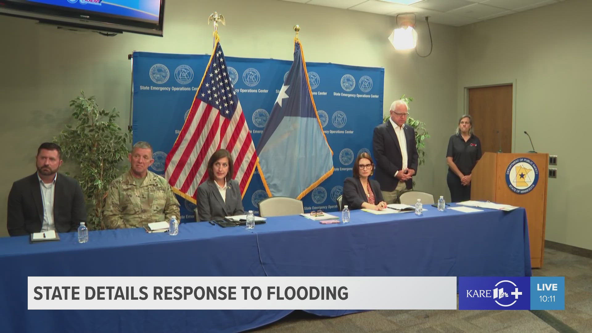
The move comes as the entire state continues to clean up from damages brought on by storms this month, including at southern Minnesota's Rapidan Dam, which partially collapsed Monday due to extremely high, fast-moving water.
For an interactive SNF map showing current alerts and notices, click here.
For more information and updates about the forest's closure, visit the USFS website.
WATCH MORE ON KARE 11+
Download the free KARE 11+ app for Roku, Fire TV, Apple TV and other smart TV platforms to watch more from KARE 11 anytime! The KARE 11+ app includes live streams of all of KARE 11's newscasts. You'll also find on-demand replays of newscasts; the latest from KARE 11 Investigates, Breaking the News and the Land of 10,000 Stories; exclusive programs like Verify and HeartThreads; and Minnesota sports talk from our partners at Locked On Minnesota.
- Add KARE 11+ on Roku here or by searching for KARE 11 in the Roku Channel Store.
- Add KARE 11+ on Fire TV here or by searching for KARE 11 in the Amazon App Store.
- Learn more about the KARE 11+ app for Apple TV in the Apple App Store.
- Learn more about KARE 11+ here.
Watch more local news:
Watch the latest local news from the Twin Cities and across Minnesota in our YouTube playlist: