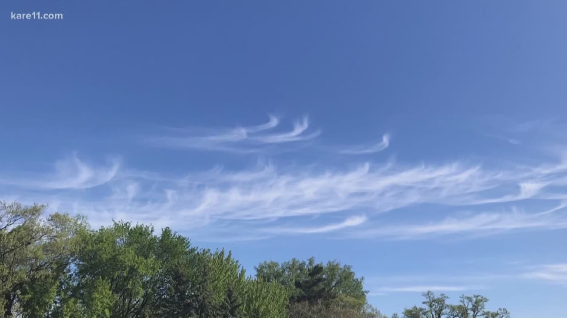
GOLDEN VALLEY, Minn. — If you were out and about Monday morning, you may have seen some wispy clouds with a curly streak at the end. Like most cloud formations, they can tell us about what's going on in the atmosphere above us right now, and also what's on the way.
Commonly called Mare's Tails, these cirrus clouds form high up in the atmosphere and get their name from their curly-ended appearance.
Mare's Tails form when stronger winds higher in the atmosphere, usually warmer air, blow these cirrus clouds and cause them to curl with the moving air. It's this warmer wind that usually brings rain to the forecast.
While Monday morning's Mare's Tails evaporated with our warmer temperatures, sure enough, rain is in the forecast in the next few days. So the next time you see these curly, wispy clouds, enjoy the nicer weather but don't let the umbrella get too far away.

