CHANHASSEN, Minn. — After an extremely wet spring and early summer, conditions had started to dry out across much of Minnesota.
That changed in a big way on Wednesday.
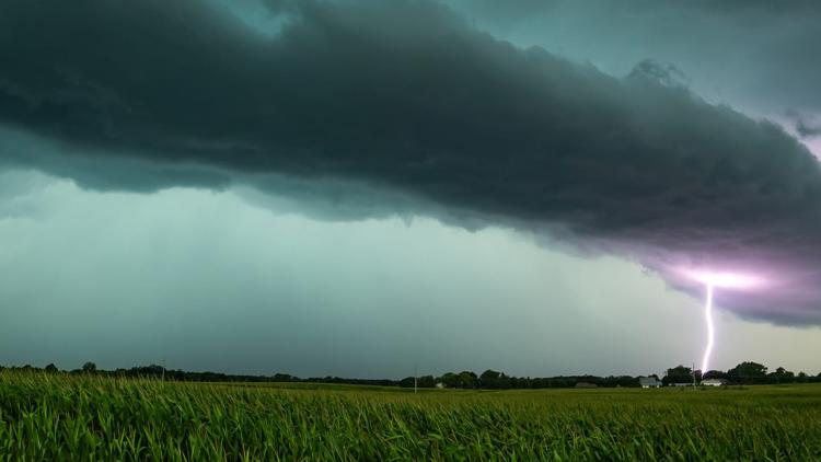
Multiple waves of storms moved through the state last night, drenching the Twin Cities and areas south. KARE 11's John Zeigler said the systems - which took shape along a warm front due to high moisture content - led to high instability, which launched damaging winds and hail that reached softball size in isolated areas.
Wind shear and higher wind speeds were highest in western Minnesota.
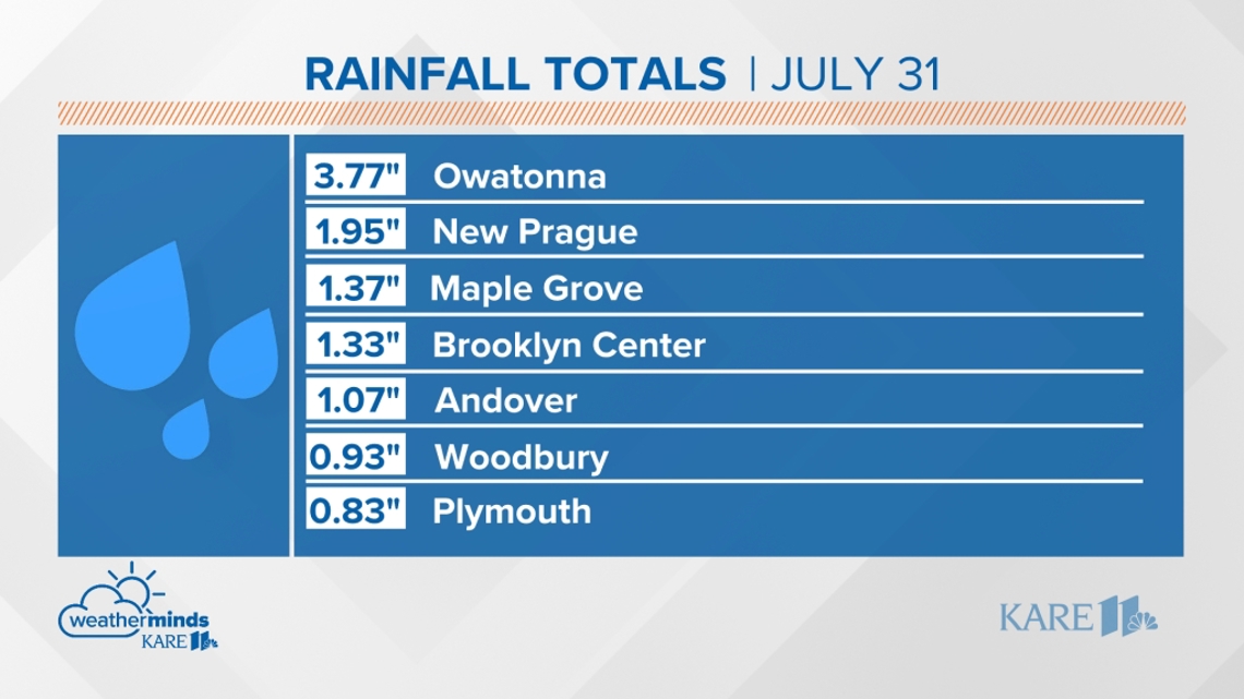
Even in areas where things didn't get severe, there was rain... and lots of it, especially in southern Minnesota. Take a look at some of these reported totals.
- Owatonna - 3.77 inches
- Wells - 3.55
- Goodhue - 3.44
- Austin - 2.67
- Hartland - 2.64
- Good Thunder - 2.5
- Watkins - 2.23
- Olivia - 2.13
Multiple communities across the greater Twin Cities metro received an inch or more, with southern suburbs like New Prague (1.89) and Mendota Heights (1.64) closer to two inches.

Zeigler said there will be a few more isolated showers and potential storms Thursday before things dry out for a hot, humid weekend.